- Maidwell
-
Coordinates: 52°22′53″N 0°54′25″W / 52.3815°N 0.9069°W
Maidwell 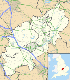
 Maidwell
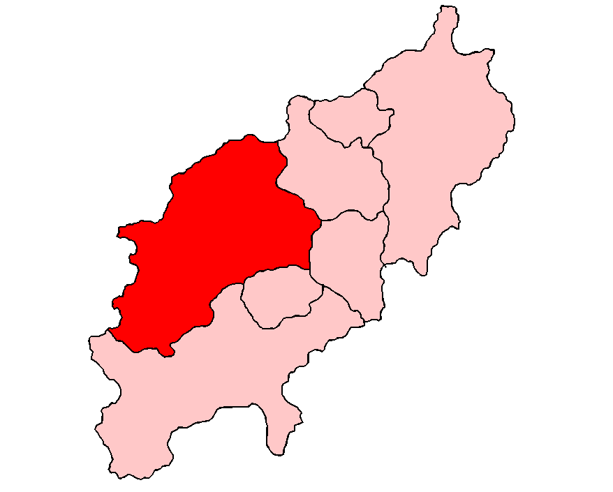
Maidwell shown within NorthamptonshirePopulation 325 OS grid reference SP7476 District Daventry Shire county Northamptonshire Region East Midlands Country England Sovereign state United Kingdom Post town Northampton Postcode district NN6 Dialling code 01604 Police Northamptonshire Fire Northamptonshire Ambulance East Midlands EU Parliament East Midlands UK Parliament Kettering List of places: UK • England • Northamptonshire Maidwell is a village and civil parish in the Daventry districtof the county of Northamptonshire in England. At the time of the 2001 census, the parish had 325 inhabitants.[1]
The A508 road runs through its western end and the village is about halfway between the market town of Market Harborough and the county town of Northampton. It is about one mile south of junction 2 of the major A14 road. Maidwell Hall is an independent boys and girls boarding and day preparatory school for children from 8–13 years old.[2]
References
- ^ Office for National Statistic: Maidwell CP: Parish headcounts. Retrieved 14 November 2009
- ^ Maidwell Hall website: About the School. Retrieved 14 November 2009
External links
- Map sources for Maidwell
Categories:- Villages in Northamptonshire
- Northamptonshire geography stubs

Wikimedia Foundation. 2010.