- Nabringhen
-
Nabringhen

 NabringhenLocation within Nord-Pas-de-Calais region
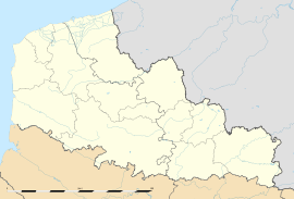 Nabringhen
Administration Country France Region Nord-Pas-de-Calais Department Pas-de-Calais Arrondissement Boulogne-sur-Mer Canton Desvres Intercommunality Communauté de communes du Pays de la Faïence de Desvres Mayor Louis Bayard
(2008–2014)Statistics Elevation 65–202 m (213–663 ft)
(avg. 125 m/410 ft)Land area1 4.17 km2 (1.61 sq mi) Population2 165 (2006) - Density 40 /km2 (100 /sq mi) INSEE/Postal code 62599/ 62142 1 French Land Register data, which excludes lakes, ponds, glaciers > 1 km² (0.386 sq mi or 247 acres) and river estuaries. 2 Population without double counting: residents of multiple communes (e.g., students and military personnel) only counted once. Coordinates: 50°44′42″N 1°51′46″E / 50.745°N 1.86277777778°E
Nabringhen is a commune in the Pas-de-Calais department in the Nord-Pas-de-Calais region of France.
Contents
Geography
Nabringhen is situated some 12 miles (19 km) east of Boulogne, at the junction of the N42 with the D224 and D206 roads.
Population
Population history 1962 1968 1975 1982 1990 1999 2006 134 144 165 170 154 155 165 Census count starting from 1962: Population without duplicates Places of interest
- The church of St.Marguerite, dating from the sixteenth century.
See also
References
External links
- Nabringhen on the Quid website (French)
Categories:- Communes of Pas-de-Calais
- Pas-de-Calais geography stubs


Wikimedia Foundation. 2010.