- Marsh Creek State Park
-
Marsh Creek State Park Pennsylvania State Park Natural Monument (IUCN III)  Looking across Marsh Creek Lake towards the West Launch Area
Named for: Marsh Creek Country United States State Pennsylvania County Chester Townships Upper Uwchlan, Wallace Location [1] - coordinates 40°04′06″N 75°43′59″W / 40.06833°N 75.73306°WCoordinates: 40°04′06″N 75°43′59″W / 40.06833°N 75.73306°W - elevation 459 ft (140 m) [1] Area 1,705 acres (690 ha) Founded 1974 Managed by Pennsylvania Department of Conservation and Natural Resources 
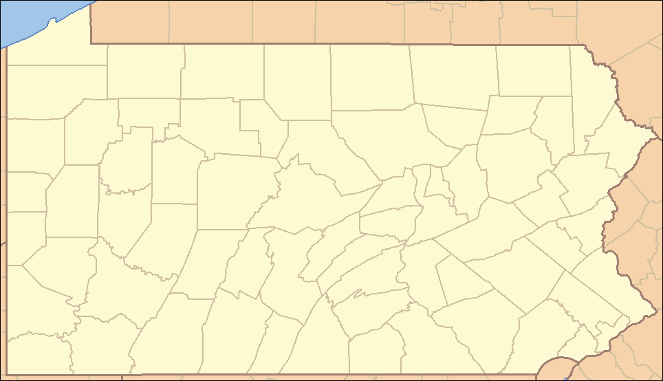
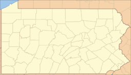 Location of Marsh Creek State Park in Pennsylvania
Website : Marsh Creek State Park Marsh Creek State Park is a 1,705 acres (690 ha) Pennsylvania state park in Upper Uwchlan and Wallace Townships, Chester County, Pennsylvania in the United States. The park is the location of the 535-acre (217 ha) man-made Marsh Creek Lake. With an average depth of 40 feet (73 feet at its deepest), the lake is stocked with fish and is a stop for migrating waterfowl. Marsh Creek State Park is 2 miles (3.2 km) west of Eagle on Pennsylvania Route 100.
Contents
History
Formation of Marsh Creek Lake was designed to address several water related problems in the region. First, to provide additional drinking water for the Chester County Water Resources Authority, alleviating a previous shortage. Second, to limit potential damage caused by seasonal flooding in the area. Finally, to provide a recreation area for residents throughout the region.
The state of Pennsylvania acquired the land that became Marsh Creek State Park between 1964 and 1978. Residents in the area were relocated including those residing in the farming village of Milford Mills.[2] the site of which was eventually innundated. From 1970-1973 construction cleared the valley of trees, structures and other obstacles. Following completion of the dam, the lake filled over the course of three years.
Upon completion of the reservoir, the Commonwealth of Pennsylvania bought the land surrounding Marsh Creek Lake, constructed recreational facilities, and opened the land to the public. New facilities built from 1971 to 1979 included administrative and picnic areas, a playground, pool, and wells. The park opened for boating, fishing, hiking, hunting, ice sports and sailing in 1974; and the pool and day-use area opened in July 1979.[2]
Recreation
Fishing and boating
Marsh Creek Lake is open to fishing and recreational boating. It is a warm water fishery with largemouth bass, black crappie, walleye, tiger muskellunge, and channel catfish all swimming in its waters. The lake is a designated "big bass" lake - only bass 15 inches (38 cm) and greater may be kept. Bass smaller than 15 inches (38 cm) must be released back into the lake.
Gasoline powered boats are prohibited at Marsh Creek Lake. Boaters are restricted to using non-powered or electric powered boats. All boats must be properly registered with any state. Boat rentals including canoes, sail boats and paddle boats are available.
Hunting
About 900 acres (360 ha) of Marsh Creek State Park are open to hunting. Hunters are expected to follow the rules and regulations of the Pennsylvania Game Commission. The common game species are squirrels, pheasant, waterfowl, rabbits and white-tailed deer. The hunting of groundhogs is prohibited.
Swimming
There is an "L" shaped swimming pool that is open at Marsh Creek State Park from Memorial Day weekend to Labor Day weekend, from 11:00 am until 7:00 pm daily. A shallow wading pool is available, as well as a bathhouse, sunning area and snack bar. Swimming in the lake is not permitted[2]
Trails
There are about 6 miles (9.7 km) of trails for equestrian use, hiking, and mountain biking open around the lake.
Winter activities
Ice fishing, ice boating and ice skating on Marsh Creek Lake are popular winter activities.
Nearby state parks
The following state parks are within 30 miles (48 km) of Marsh Creek State Park:[3][4][5]
- Brandywine Creek State Park (Delaware)
- Evansburg State Park (Montgomery County)
- Fort Washington State Park (Montgomery County)
- Fox Point State Park (Delaware)
- French Creek State Park (Berks and Chester Counties)
- Nolde Forest Environmental Education Center (Berks County)
- Norristown Farm Park (Montgomery County)
- Ridley Creek State Park (Delaware County)
- White Clay Creek Preserve (Chester County)
- White Clay Creek State Park (Delaware)
References
- ^ a b "Marsh Creek State Park". Geographic Names Information System. United States Geological Survey. August 30, 1990. http://geonames.usgs.gov/pls/gnispublic/f?p=gnispq:3:::NO::P3_FID:1196535. Retrieved 2008-06-11.
- ^ a b c "Marsh Creek State Park". Pennsylvania Department of Conservation and Natural Resources. http://www.dcnr.state.pa.us/stateparks/Parks/marshcreek.aspx. Retrieved 2006-11-26.
- ^ Michels, Chris (1997). "Latitude/Longitude Distance Calculation". Northern Arizona University. http://www2.nau.edu/~cvm/latlongdist.html. Retrieved 2008-04-23.
- ^ Pennsylvania Department of Transportation, Bureau of Planning and Research, Geographic Information Division. "2007 General Highway Map Chester County Pennsylvania" (Map). 1:65,000. ftp://ftp.dot.state.pa.us/public/pdf/BPR_pdf_files/Maps/GHS/Roadnames/chester_GHSN.PDF. Retrieved 2007-07-27. Note: shows Marsh Creek State Park
- ^ "Find a Park by Region (interactive map)". Pennsylvania Department of Conservation and Natural Resources. http://www.dcnr.state.pa.us/stateparks/findapark/where/index.htm. Retrieved November 18, 2011.
External links
- Marsh Creek State Park Official mapPDF (527 KB)
Eagle · Upper Uwchlan · West Pikeland · East Nantmeal · Wallace Township · West Vincent · Marsh Creek State Park · Milford Mills · Yellow Springs · Eagle TavernCategories:- Pennsylvania state parks
- Protected areas established in 1974
- Parks in Chester County, Pennsylvania

Wikimedia Foundation. 2010.