- Mount Stirling
-
Mount Stirling 
The Bluff Spur Hut at Mount StirlingElevation 1,749 m (5,738 ft) AHD Location Location Victoria, Australia Range Great Dividing Range Coordinates 37°07′S 146°31′E / 37.117°S 146.517°E Climbing First ascent Unknown Easiest route Hike/ski/4WD  Telemark skier at Mount Stirling
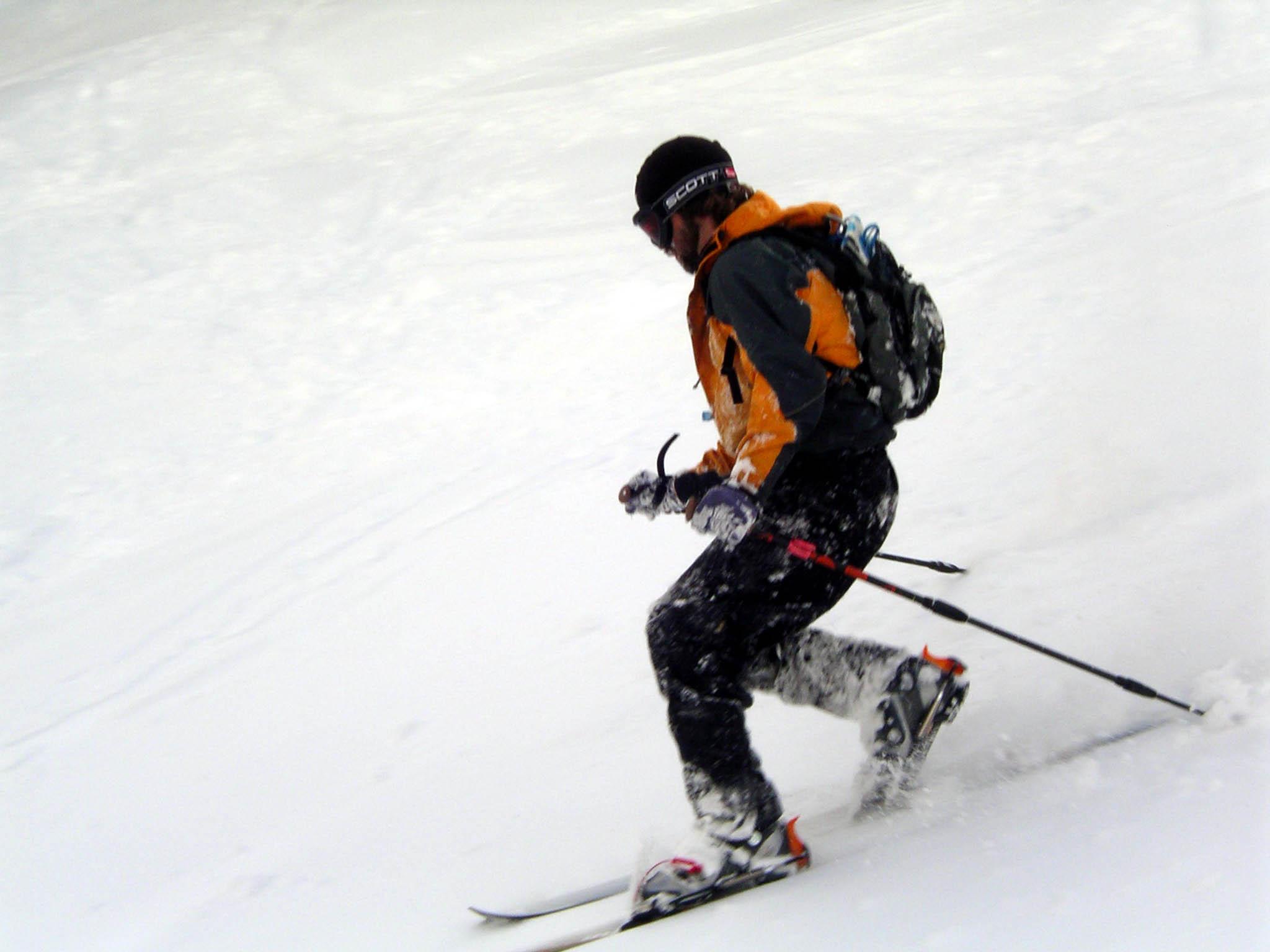
Mount Stirling is a cross-country and backcountry ski resort in the Australian state of Victoria approximately 230 km from Melbourne. Mount Stirling is a popular location for beginner backcountry skiers and snowboarders due to its distance from Melbourne and proximity to the Mount Buller resort.
Mount Stirling Alpine Resort is an Unincorporated area of Victoria; the larger surrounding locality of Mount Buller is part of the Shire of Mansfield.
It is located at the head of the Delatite River, which flows westwards. It is surrounded by the Stirling Circuit Road, which provides access to mountains further into the Victorian Alps. In winter the road is closed at Telephone Box Junction, from which it is generally possible to ski to reach the summit (depending on conditions it is sometimes necessary to walk the lower section).
The mountain has fantastic views across to nearby Mount Buller as well as the high range that runs from Mount Cobbler through Mount Speculation and the Cross cut Saw and Mount Howitt. From there the range swings westwards, finishing in The Bluff, an impressive tilted plateau that has large clifflines on its northern side.
The lower reaches of the mountain are dominated by Alpine Ash forests, which merge into Snowgum Woodlands above about 1,400 metres. There is a small part of the summit area which sits above treeline.
Contents
Huts
There are a number of huts in the area of Mount Stirling providing emergency refuge to visitors:
- Bluff Spur Hut is a shelter hut near the summit erected as a memorial to a pair of skiers who died of exposure on the mountain.
- Kingsaddle Shelter, an open shelter amidst towering Alpine Ash.
- Howqua Gap Hut was moved around Mount Stirling for loggers to shelter in and was left at the bottom of the Howqua Gap trail.
- Geelong Grammar School Hut on the other side of the summit from Bluff Spur Hut is owned by Geelong Grammar School and is used during cross country skiing by students from the Timbertop campus.
- Craig's Hut in the Clear Hills, built as a set for the The Man from Snowy River film was destroyed on 11 December 2006 by bushfire[1]. However, it has now been rebuilt.[2]
- Mount No 3 Refuge Hut, rebuilt in 2007
- Bus Hut on the Mount Number 3 Road
Winter
In winter the area is a patrolled cross country and back country ski resort.
Maps of ski trails are available at the entry gate.
Summer
In summer the area is popular with four wheel drivers and bush walkers. The trail from the Circuit Road to the summit takes less than two hours to walk and is popular for day and over night trips.
Also, when it is not snowing or in danger of bushfires, the area is used by numerous educational groups.
See also
- Skiing in Australia
References
- ^ Sydney Morning Herald, 11 December 2006, Bushfires ravage iconic Craig's Hut
- ^ High Country Horses - Merrijig Victoria, Our latest news for Summer 2007-08, Retrieved on 27/11/07
External links
Coordinates: 37°07′S 146°30′E / 37.117°S 146.5°E
Australian skifields NSW Perisher (Perisher Valley, Blue Cow, Guthega, Smiggin Holes) - Charlotte Pass - Thredbo - Selwyn Snowfields - CabramurraVictoria Mount Buller - Mount Baw Baw - Falls Creek - Mount Hotham - Dinner Plain - Lake Mountain (XC) - Mount Saint Gwinear (XC) - Mount Stirling (XC)Tasmania Former skifields Mount Buffalo - Kiandra - Mount Franklin - Kunama HutLocal Government Areas of Victoria Greater Melbourne Inner MelbourneMetropolitanBanyule · Bayside · Boroondara · Darebin · Glen Eira · Hobsons Bay · Kingston · Maribyrnong · Maroondah · Monash · Moonee Valley · Moreland · WhitehorseOuter MetropolitanBrimbank · Cardinia · Casey · Frankston · Greater Dandenong · Hume · Knox · Manningham · Melton · Mornington Peninsula · Nillumbik · Whittlesea · Wyndham · Yarra RangesSouthwest Central Highlands and Goldfields Goulburn Valley Northeast Alpine · Benalla · Falls Creek Alpine Resort · Indigo · Lake Mountain Alpine Resort · Mansfield · Mount Buller Alpine Resort · Mount Hotham Alpine Resort · Mount Stirling Alpine Resort · Murrindindi · Towong · Wangaratta · WodongaGippsland Western District Wimmera The Mallee Categories:- Mountains of Victoria (Australia)
- Ski areas and resorts in Victoria (Australia)

Wikimedia Foundation. 2010.