- Oklahoma Panhandle
-
"Neutral Strip" redirects here. For the area in Louisiana known as the Sabine Free State or Neutral Strip, see Neutral Ground (Louisiana).
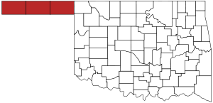
The Oklahoma Panhandle is the extreme western region of the state of Oklahoma, comprising Cimarron County, Texas County, and Beaver County. Its name comes from the similarity of shape to the handle of a cooking pan.
The three-county Oklahoma Panhandle region had a population of 28,751 at the 2010 census, representing 0.77% of the state's population. This is a decrease in total population of 1.2%, a loss of 361 people, from the census of 2000.
Contents
Geography
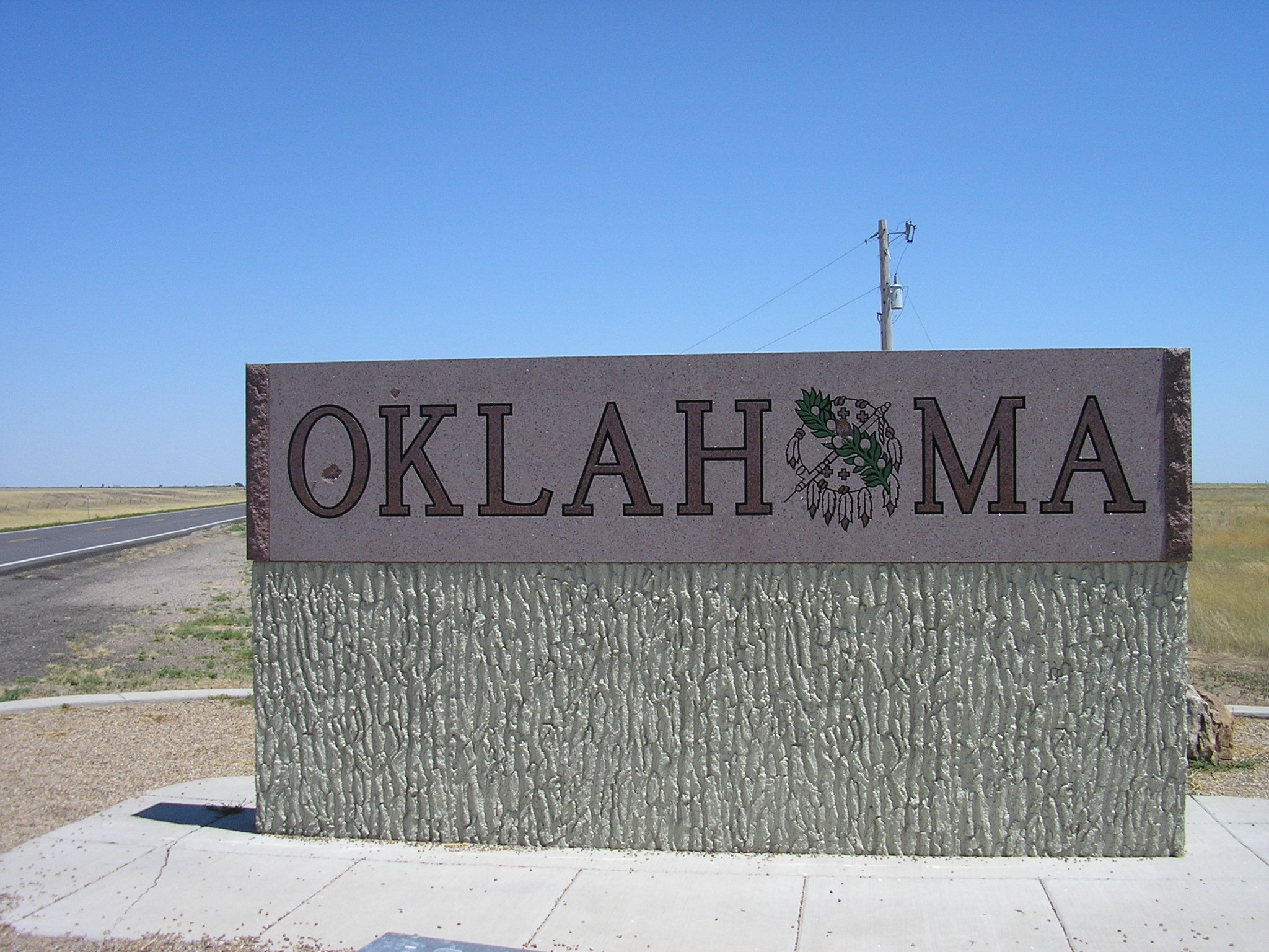
 State welcome sign on the New Mexico border of the panhandle
The Panhandle, 166 miles long and 34 miles wide, is bordered by Kansas and Colorado at 37°N on the north, New Mexico at 103°W on the west, Texas at 36.5°N on the south, and the remainder of Oklahoma at 100°W on the east. The largest town in the region is Guymon, which is the county seat of Texas County. Black Mesa, the highest point in Oklahoma, is located in Cimarron County. The Panhandle occupies nearly all of the true High Plains within the state of Oklahoma, being the only part of the state lying west of the 100th Meridian, which generally marks the westernmost extent of moist air from the Gulf of Mexico. The North Canadian River is named Beaver River or Beaver Creek on its course through the Panhandle. Its land area is 5,686.56 square miles (14,728.12 km²), which is larger than that of the state of Connecticut, and comprises 8.28 percent of Oklahoma's land area.
Demographics
As of the census[1] of 2000, there were 29,112 people, 10,655 households, and 7,824 families residing within the Oklahoma Panhandle region. The racial makeup of the region was 80.93% White including persons of mixed race, 72.28% non-Hispanic white, 0.61% African American, 1.22% Native American, 0.42% Asian, 0.08% Pacific Islander, 14.34% from other races, and 2.41% from two or more races. Hispanics or Latinos of any race were 24.45% of the population.
As of the 2000 census, 7.7% of the population was under the age of five, and 12.5% of the population exceeded 65 years of age. Of the population under the age of 5, 54.95% were non-Hispanic white, 41.12% were Hispanic of any race, and 0.80% were African American alone. Of the population 65 years of age and over, 95.29% were non-Hispanic white, 3.52% were Hispanic, and 0.03% was African American. Of the non-Hispanic white population, 16.45% were 65 years of age or older.
As of the 1990 census, 89.40% of the population was non-Hispanic White, 9.11% were of Hispanic of any race, and 0.27% were African American. 6.72% of the population was under 5 years of age, and 14.7% were 65 years of age or older.
The median income for a household in the region was $34,404, and the median income for a family was $40,006. Males had a median income of $27,444 versus $19,559 for females. The per capita income for the region was $16,447.
Cities and towns
Major communities
- Beaver (County Seat of Beaver County)
- Boise City (County Seat of Cimarron County)
- Goodwell (Home to Panhandle State University)
- Guymon (County Seat of Texas County and largest city in the Oklahoma Panhandle)
- Hooker
- Texhoma
Other communities
History
 Map of the Republic of Texas
 Map of Oklahoma Territory showing the panhandle as neutral territory
During its early history, the area contained no permanent settlements. With the arrival of horses from Spain in the 16th century, nomadic Indian tribes were able to increase their use of the area for hunting, and for traveling from summer to winter quarters.
The non-Native American history of the panhandle traces its origins being part of the Spanish New Spain empire. The Transcontinental Treaty (Adams-Onís Treaty) of 1819 between Spain and the United States set the western boundary of this portion of the Louisiana Purchase at the 100th meridian. With Mexican independence in 1821, these lands became part of Mexico. With the formation of the Texas Republic, they became part of Texas. When Texas joined the U.S. in 1846, the strip became part of the United States.
The Cimarron Cut-Off for the Santa Fe Trail passed through the area soon after the trade route was established in 1826 between the Spanish in Santa Fe and the Americans in St. Louis. Travel along the route increased considerably after 1849 with the discovery of gold in California. The Cutoff passed through what is now Boise City, Oklahoma and on to Clayton, New Mexico before continuing toward Santa Fe.
When Texas sought to enter the Union in 1845 as a slave state, federal law in the United States based on the Missouri Compromise prohibited slavery North of 36°30' parallel north. Under the Compromise of 1850, Texas surrendered its lands north of 36°30' latitude. The 170-mile strip of land was thus left with no formal territorial ownership. It was officially called the "Public Land Strip" and was more commonly referred to as "No Man's Land."
The Compromise of 1850 also established the eastern boundary of New Mexico Territory at the 103rd meridian, thus setting the western boundary of the strip. The Kansas-Nebraska Act of 1854 set the southern border of Kansas Territory as the 37th parallel. This became the northern boundary of No Man's Land. When Kansas joined the Union in 1861, the western part of Kansas Territory was assigned to Colorado Territory, but did not change the boundary.
Cimarron Territory
After the Civil War, cattlemen moved into the area. Gradually they organized themselves into ranches and established their own rules for arranging their land and adjudicating their disputes. There was still confusion over the status of the strip and some attempts were made to arrange rent with the Cherokees, despite the fact that the Outlet ended at the 100th meridian. However, in 1886, Interior Secretary L. Q. C. Lamar, declared the area to be Public domain.
The strip was not yet surveyed, and as that was one of the requirements of the Homestead Act of 1862, the land could not be officially settled. Settlers by the thousands flooded in to assert their "squatter's rights" anyway. They surveyed their own land and by September had organized a self-governing and self-policing jurisdiction which they named the Cimarron Territory. A bill was introduced to Congress that same year to officially recognize the territory, but it failed to pass.
The organization of Cimarron Territory began soon after L.Q.C. Lamar, U.S. Secretary of the Interior, in 1886, declared the area open to settlement by squatters. The settlers soon formed their own vigilance committees, which organized a board charged with forming a territorial government. The board enacted a preliminary code of law and divided the strip into three districts divided by the meridians. They also called for a general election to choose three members from each district to meet on March 4, 1887, to form the government.
The elected council met as planned, elected Owen G. Chase as president, and named a full cabinet. They also enacted further laws and divided the strip into five counties (Benton, Beaver, Palo Duro, Optima, and Sunset), three senatorial districts (with three members from each district), and seven delegate districts (with two members from each district). The members from these districts were to be the legislative body for the proposed territory. Elections were held November 8, 1887, and the legislature met for the first time on December 5, 1887.
After the meeting in March, Owen G. Chase went to Washington, D.C. to lobby for admission to Congress as the delegate from the new territory. A group disputing the Chase organization met, and elected and sent its own delegate to Washington. A bill was introduced to accept Chase but was never brought to a vote. Neither delegation was able to persuade Congress to accept the new territory. Another delegation went in 1888 but did no better.
In 1889, the Unassigned Lands were opened for settlement and many of the residents went there. The population, generously estimated at 10,000, fell to about 3,000. The passage of the Organic Act in 1890 assigned No Man's Land to the new Oklahoma Territory, and ended the short-lived Cimarron Territory.
Settlement and assimilation
 Old Beaver County encompassed the whole panhandle from 1890 until statehood.
In 1891, the government completed the survey and the remaining squatters were finally able to secure their homesteads under the Homestead Act.
No Man's Land became Seventh County, later renamed Beaver County. When Oklahoma Territory and Indian Territory joined the Union in 1907 as the single state of Oklahoma, Beaver County was divided into the present Beaver, Texas, and Cimarron counties.
Following the 2000 United States Census, the three counties of the panhandle were assigned to Oklahoma's 3rd congressional district, which, geographically speaking, is Oklahoma's largest Congressional district.
Economy
The Panhandle is rather thinly populated (when compared to the rest of Oklahoma) making the labor force in this region very small. Farming and ranching operations occupy most of the economic activity in the region, with ranching dominating the drier western end. The region's higher educational needs are served by Oklahoma Panhandle State University in Goodwell, 10 miles southwest of Guymon, the Panhandle's largest city.
Politics
The Oklahoma Panhandle is one of the most universally Republican areas of the nation. In the 2008 U.S. Presidential election, the three counties gave a weighted average of 87.5% of their votes to John McCain and 12.5% to Barack Obama, with McCain carrying the state over Obama 65.6% to 34.4%.[2] Also, in 2006 the Oklahoma Panhandle counties were the only three where the majority voted against the successful Democratic incumbent Governor Brad Henry.
Points of interest
- Black Mesa State Park (Hiking trail to the top of Oklahoma's highest point)
- Beaver Dunes State Park (Massive sand dunes along the Beaver River provide ATV adventures) - located just north of the town of Beaver
- Optima Lake (Home to the Optima National Wildlife Refuge)
In popular culture
- Edna Ferber wrote a novel called Cimarron, which was published in 1929.
- A 1931 RKO Radio Pictures film version of Ferber's novel, Cimarron won the Academy Award for Best Picture.
- Badman's Territory, 1946, was a movie that starred Randolph Scott as a Texas sheriff in the panhandle, out of his jurisdiction, where he meets such famous outlaws as Jesse James, Frank James, the Dalton Gang, and Belle Starr. The story was fictional to such an extent that it claimed the region was a haven for such outlaws and that the citizens wanted it to stay that way. The thriving town was called "Quinto."
- The 1931 picture was remade in 1960 by MGM, Cimarron directed by Anthony Mann.
- Cimarron Strip was a United States television series based loosely on the Cimarron Territory. It was produced by CBS, running only one season (23 episodes), debuting on September 7, 1967 and ending on September 19, 1968.
- Spirit: Stallion of the Cimarron is an animated film, released in 2002, and set in the region during the post-Civil War era.
See also
Geography:
- Oklahoma
- Cimarron County
- Texas County
- Beaver County
-
For other uses, see No Man's Land (disambiguation).
History:
Other state panhandles:
- Texas Panhandle
- Florida Panhandle
- Alaska Panhandle
- Connecticut Panhandle
- Idaho Panhandle
- Nebraska Panhandle
- West Virginia's Northern Panhandle
- West Virginia's Eastern Panhandle
Transport:
- List of airports in the Oklahoma Panhandle
References
- ^ "American FactFinder". United States Census Bureau. http://factfinder.census.gov. Retrieved 2008-01-31.
- ^ [1]
- Beck, T.E. "Cimarron Territory," Chronicles of Oklahoma 7:2 (June 1929) 168-169 (retrieved August 16, 2006).
- Counties of the Oklahoma Panhandle United States Census Bureau
- Wardell, Morris L. "The History of No-Man's Land, or Old Beaver County", Chronicles of Oklahoma 1:1 (January 1921) 60-89 (retrieved August 16, 2006).
Further reading
- Christman, Harry E. (editor-original manuscript by Jim Herron). Fifty Years on the Owl Hoot Trail: The First Sheriff of No Man's Land, Oklahoma Territory. Sage Books: Chicago, 1969.
- Lowitt, Richard. American Outback: The Oklahoma Panhandle in the Twentieth Century (Texas Tech University Press, 2006) . xxii, 137 pp. isbn 0-89672-558-8
External links
- Oklahoma article at HighBeam Encyclopedia.com
- Oklahoma Panhandle was formerly called Cimarron Territory
- Cimarron Council of the Boy Scouts of America
- Oklahoma History Center: Education Programs
- Encyclopedia of Oklahoma History and Culture - Cimarron Territory
United States panhandles Alaska • Connecticut • Florida • Idaho • Maryland • Nebraska • Oklahoma • Texas • Eastern West Virginia • Northern West VirginiaCategories:- Regions of Oklahoma
- Geography of Beaver County, Oklahoma
- Geography of Cimarron County, Oklahoma
- Geography of Texas County, Oklahoma


Wikimedia Foundation. 2010.