- Chapel Street, Melbourne
-
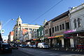
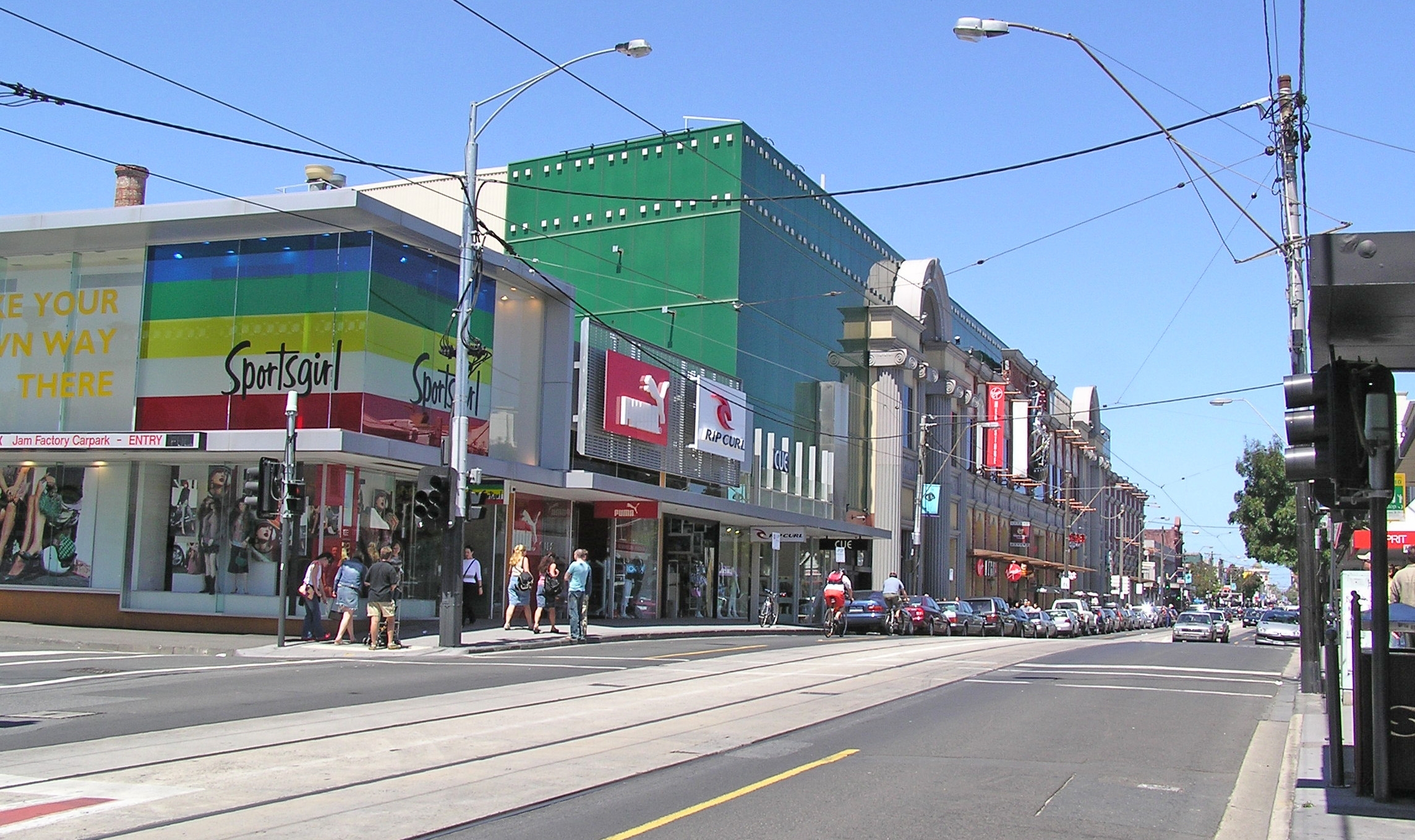
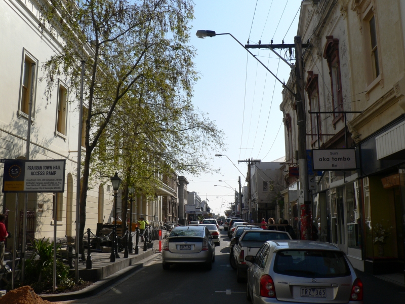
 Chapel Street, looking south towards Commercial Road
Chapel Street is a shopping, dining and entertainment precinct in Melbourne, Australia. It has myriad shops ranging from exclusive upmarket fashion designers at the South Yarra end to old fashion pawnbrokers towards Windsor.
Contents
Geography
Chapel Street runs for over 4.13 kilometres from the Yarra River in the north to Brighton Road in the south, traversing the south east suburbs of South Yarra, Prahran, Windsor, St Kilda and St Kilda East. Major street crossings are Alexandra Avenue, Toorak Road, Commercial Road, High Street, Dandenong Road, Alma Road, Inkerman Street and Carlisle Street. To the north of Dandenong Road, Chapel Street is one of Melbourne’s premier shopping and entertainment strips with over 980 shops, street cafés, restaurants, bars, pubs and nightclubs. It has a reputation as Melbourne’s fashion and style capital. South of Dandenong Road is predominantly a residential area.
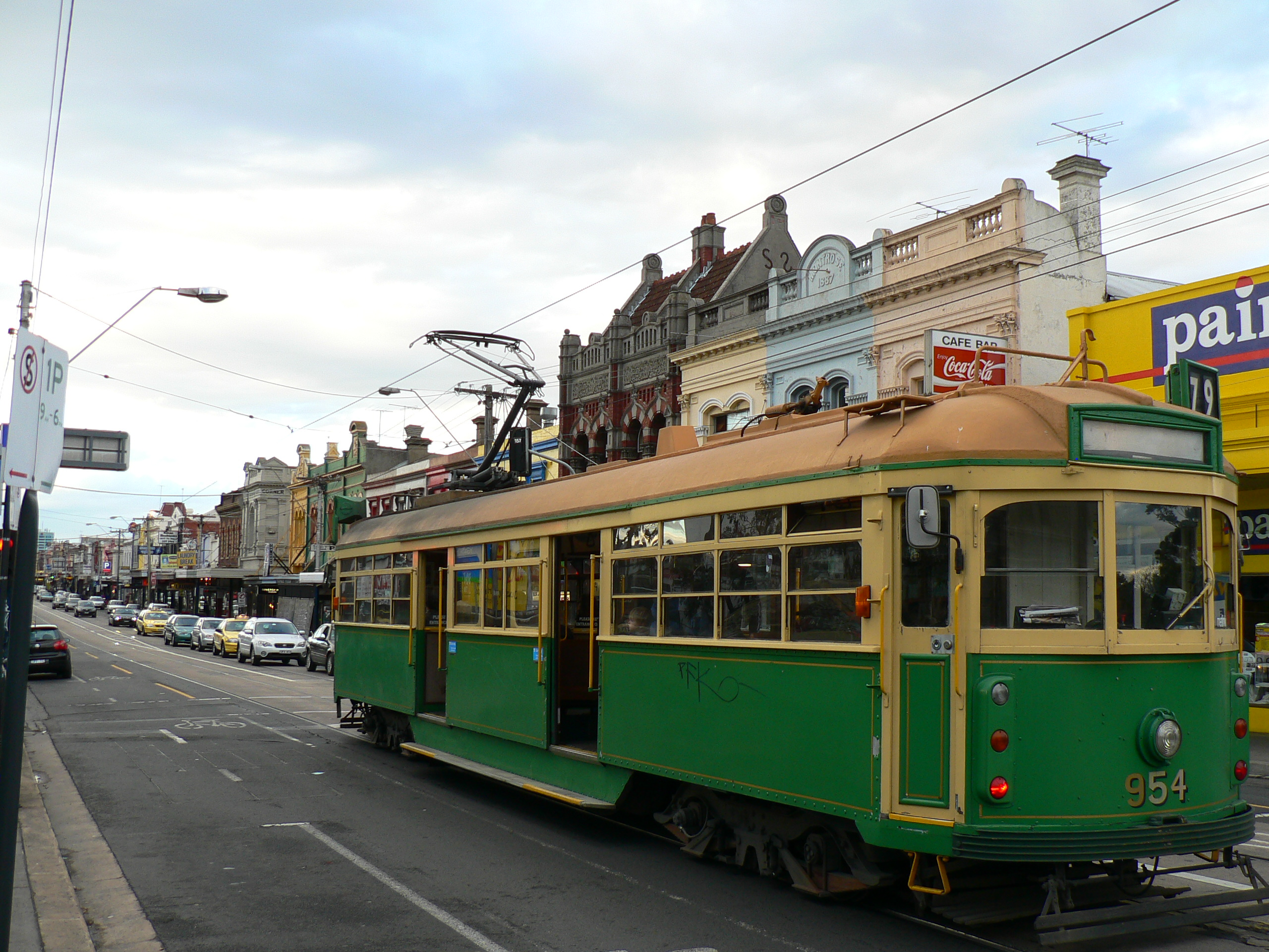
Tram routes 78 and 79 travel along the entire length of Chapel Street, between Richmond and St Kilda. Tram routes 3, 5, 6, 8, 64 and 72 all intersect Chapel Street. The Sandringham line railway stations of South Yarra, Prahran, Windsor and Balaclava are all within 300 metres of Chapel Street.
The section of Chapel Street between Toorak Road and Dandenong Road is often completely filled with traffic from around midnight to 3 a.m. each Friday and Saturday nights. This is partially due to the large number of clubs, bars and restaurants along Chapel Street, but also to owners of modified cars cruising this section, without a specific destination. This practice is known in Melbourne as "Laps of Chaps" or "Chap Laps", and is generally confined to Chapel Street, although this behaviour originated on Lygon Street, Carlton.
History
Joseph Crook [1] is believed to have built the first house in Chapel Street in 1849, when the street was known as Fitzroy Road. Chapel Street was named after the first church in Prahran, an Independent (or Congregational) Church, built 100 metres north of Malvern Road on the east side, between 1850 and 1852. The first minister of "The Chapel", as it was known locally, was Rev William Moss. In an address to the Collins Street Independent Church in 1888 the Rev. Moss said, "I may mention that our chapel at Prahran was the only place of worship in the district for over two years, and ultimately gave to the business street of that flourishing city its name Chapel Street". The Chapel was closed in 1859, used as a school building until about 1883, when it was demolished. The only surviving church in the commercial part of Chapel Street, the Baptist Church, which was built in the 1850s on the corner of Wilson Street, is now the Irish theme pub Bridie O'Reilly’s.[1]
A bridge linking Chapel Street and Church Street, Richmond was not built until 1857 and a ferry service operated over the Yarra River. In the 1850s much of the area between Commercial Road and the Yarra River was formed of deep clay deposits which resulted in a number of brickmakers establishing businesses on both sides of Chapel Street. The last of the brickworks, The South Yarra Fire Brick Company continued until the 1980s when it was sold to the Singapore Developer Jack Chia for "The South Yarra Project" development which was to include The Como Centre.[2] 1888 sparked major development on the street with the permanent installation of a tram service.
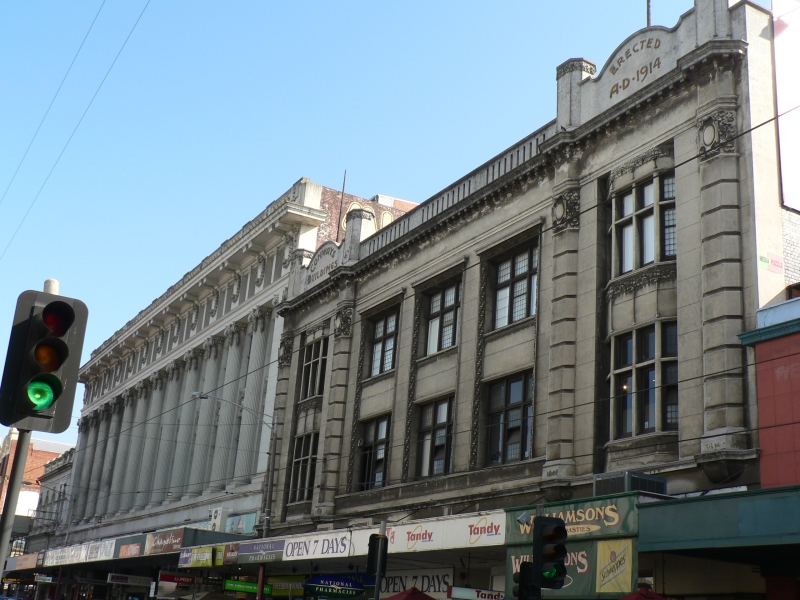
Virtually from its beginning Chapel Street, between Toorak Road and Dandenong Road was a trading and shopping street with flour milling, butchers, bakers, drapers, boot makers, general stores, carpenters, bricklayers, farrier and blacksmiths, chemists and an undertaker. At the turn of the century large multi-level emporiums (department stores) began to spring up in the Prahran section of the street. At this point, Chapel Street rivalled the CBD as Melbourne's shopping destination. Emporium development continued right through to the 1930s.
In the 1970s, Pran Central opened as a major shopping mall. In the 1980s, the Jam Factory and Como Centre at the South Yarra end were the biggest developments to effect the character of the street. Gentrification ensured that this end became home to boutique fashion stores.[3]
Sites of interest
 Chapel Off Chapel Arts Centre in Little Chapel Street, Prahran
From the Yarra River heading south:[4]
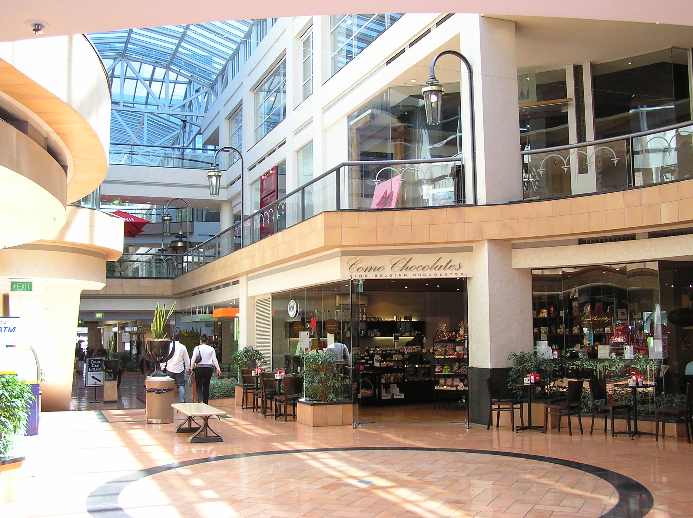
- The Como Centre is a multi-storey office, retail cinema and hotel complex on the north-east corner of Chapel Street and Toorak Road. It is the headquarters of ATV-10 Television.
- The Jam Factory is an iconic shopping, cinema and entertainment complex on the corner of Garden Street.
- Just off Elizabeth Street is the Prahran Market, a fresh food market which has occupied its present site for over 120 years.
- Commercial Road shopping strip is the centre of one of Melbourne's gay villages.
- The Chapel off Chapel theatre and gallery venue is at the end of Carlton Street.
- Pran Central at the corner of Commercial Road is a redevelopment of a National Trust classified building into a residential and commercial complex with a multicultural food court.
- Greville Street is a small niche shopping strip.
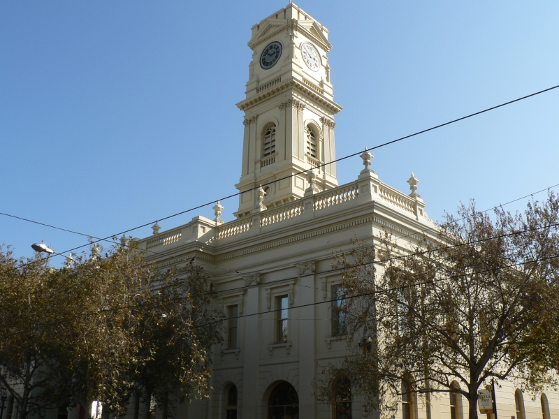
- Prahran Town Hall, on the corner of Greville Street was opened in 1861.
- The Prahran Mission, a community services organization run by UnitingCare Australia.
- The Prahran campus of Swinburne University is near the south west corner of High Street.
- The first bowling club in Australia, the Melbourne Bowling Club, is situated behind Chapel Street in Union Street. The club was founded on 11 March 1864.
- The Astor Theatre on the south west corner of Dandenong Road is a Heritage Victoria registered, 1930’s art deco cinema which seats over 1,100 people.
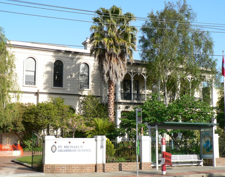
- St Michael's Grammar School now incorporates many of the area's old buildings.
Gallery - South Yarra
-

Jam Factory shopping centre
-
shopping strip, mostly two storey retail stores
-

The Como Centre
Gallery - Prahran
-

Pran Central
-
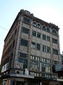
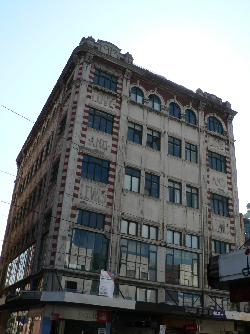
Love and Lewis Building
-

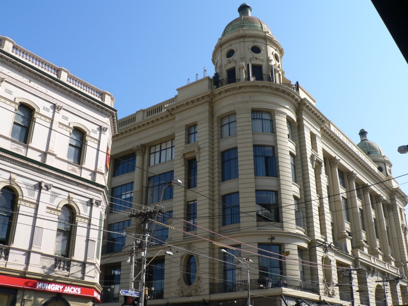
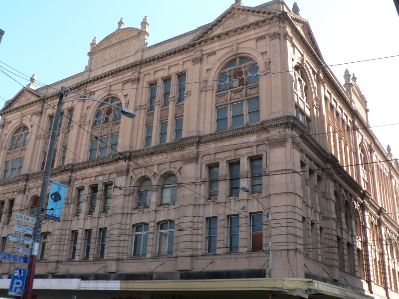
The Big Store
-
The old Prahran Arcade
-

Greville Street shops viewed from Chapel Street
-

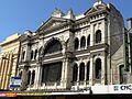
Prahran Town Hall
-

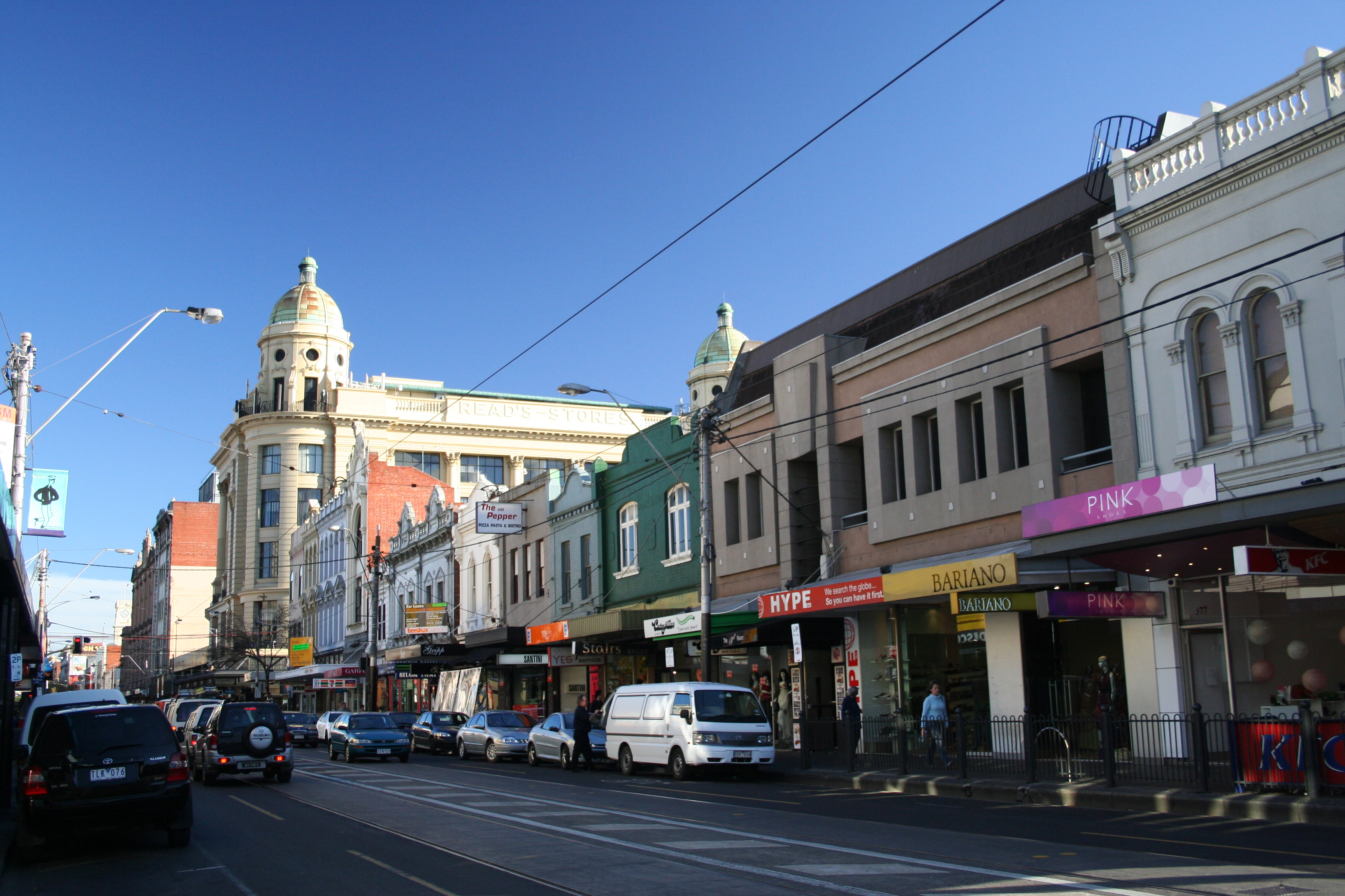
Heritage Emporiums
-

Maples Corner
Gallery - Windsor
-

W class tram on Chapel Street, Windsor stopping at Windsor Station
Gallery - St Kilda, East St Kilda
-
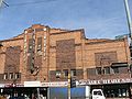
Astor Theatre 1920s facade
-

Hewison House, St Michael's Grammar School
-

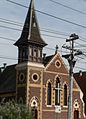
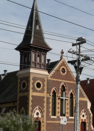
St George's Presbyterian Church.
-
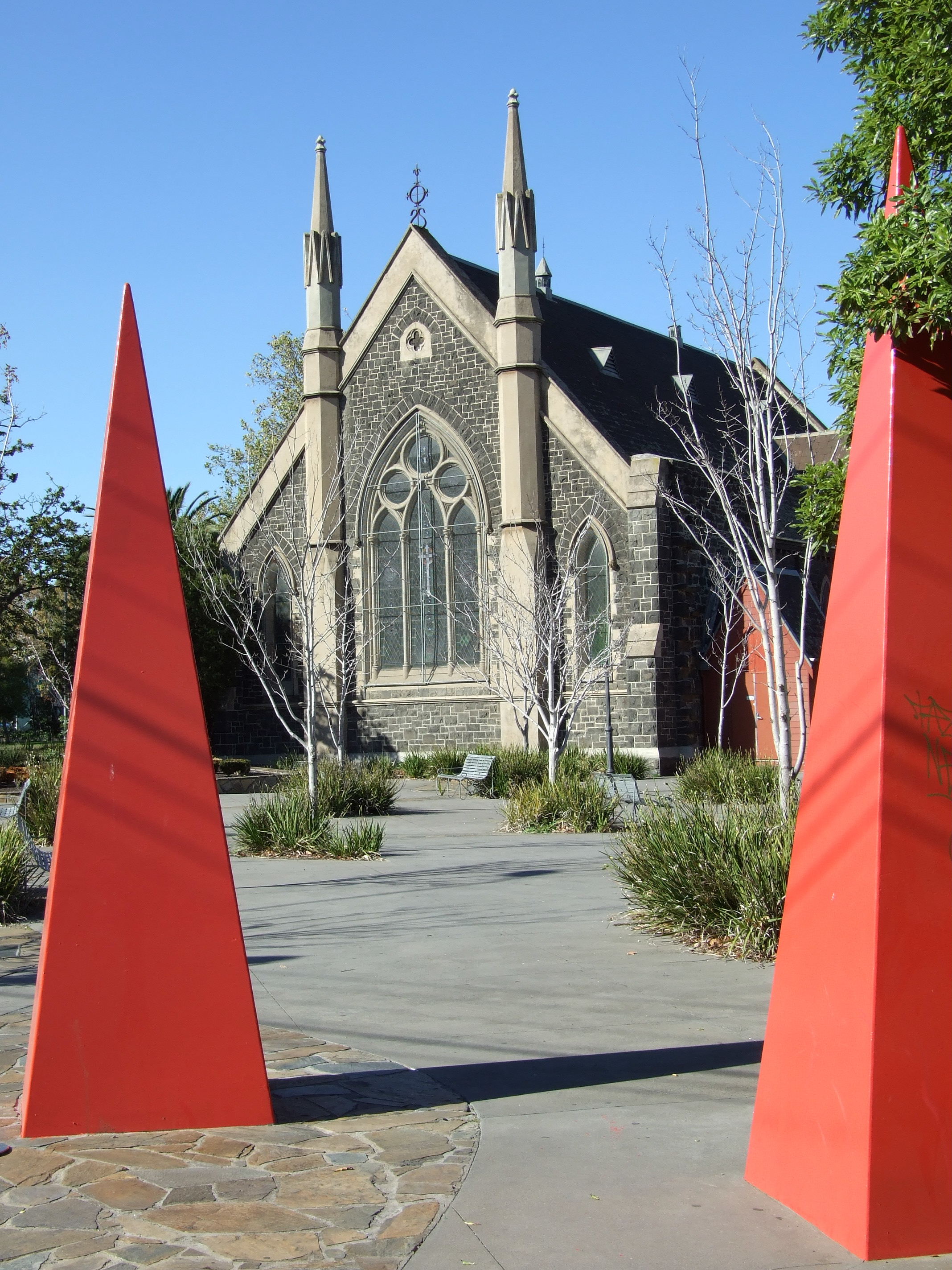
St Kilda Parish Mission Church.
References
- ^ http://www.chapelstreet.com.au/default.asp?mode=history Chapel Street History
- ^ Troubled South Yarra Project to go ahead - Finance group buys out Chia
- ^ http://www.stonnington.vic.gov.au/www/html/1056-e-books.asp Coopers History of Prahran
- ^ http://www.chapelstreet.com.au/ Streets Ahead Promotions website
External links
Coordinates: 37°50′27″S 144°59′43″E / 37.84083°S 144.99528°E
Categories:- Landmarks in Melbourne
- Streets in Melbourne
- Visitor attractions in Melbourne
- Shopping districts and streets in Australia


Wikimedia Foundation. 2010.