- Oakenholt
-
Coordinates: 53°14′N 3°07′W / 53.23°N 3.11°W
Oakenholt 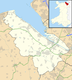
 Oakenholt
Oakenholt shown within FlintshirePopulation 2,920 (2001 Census)[1] OS grid reference SJ2671 Principal area Flintshire Country Wales Sovereign state United Kingdom Post town FLINT Postcode district CH6 Dialling code 01352 Police North Wales Fire North Wales Ambulance Welsh EU Parliament Wales UK Parliament Delyn Welsh Assembly Delyn List of places: UK • Wales • Flintshire Oakenholt is a village in Flintshire, Wales. It is situated to the south east of the town of Flint, near the A548 road. At the 2001 Census, the population of the Flint Oakenholt Ward was 2,920.[1]
References
- ^ a b 2001 Census: Flint Oakenholt (Ward), Office for National Statistics, http://neighbourhood.statistics.gov.uk/dissemination/LeadKeyFigures.do?a=3&b=6075683&c=oakenholt&d=14&e=16&g=414549&i=1001x1003x1004&m=0&r=1&s=1222381120093&enc=1, retrieved 25 September 2008
External links
Categories:- Villages in Flintshire
- Clwyd geography stubs

Wikimedia Foundation. 2010.