- Moorland, Kentucky
-
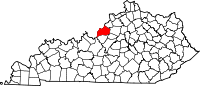
Moorland, Kentucky — City — Entry Sign Location within the state of Kentucky
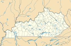
 Moorland, Kentucky
Coordinates: 38°16′23″N 85°34′45″W / 38.27306°N 85.57917°WCoordinates: 38°16′23″N 85°34′45″W / 38.27306°N 85.57917°W Country United States State Kentucky County Jefferson Area – Total 0.1 sq mi (0.2 km2) – Land 0.1 sq mi (0.2 km2) – Water 0.0 sq mi (0.0 km2) Elevation 627 ft (191 m) Population (2000) – Total 464 – Density 4,830.4/sq mi (1,865.0/km2) Time zone Eastern (EST) (UTC-5) – Summer (DST) EDT (UTC-4) FIPS code 21-53328 GNIS feature ID 0498569 Moorland is a city in Jefferson County, Kentucky, United States. The population was 464 at the 2000 census.
Geography
Moorland is located at 38°16′23″N 85°34′45″W / 38.27306°N 85.57917°W (38.273020, -85.579048)[1].
According to the United States Census Bureau, the city has a total area of 0.1 square miles (0.26 km2), all of it land.
Demographics
As of the census[2] of 2000, there were 464 people, 206 households, and 127 families residing in the city. The population density was 4,830.4 people per square mile (1,791.5/km²). There were 213 housing units at an average density of 2,217.4 per square mile (822.4/km²). The racial makeup of the city was 91.81% White, 4.74% African American, 0.43% Asian, 0.22% from other races, and 2.80% from two or more races. Hispanic or Latino of any race were 0.65% of the population.
There were 206 households out of which 29.1% had children under the age of 18 living with them, 44.2% were married couples living together, 13.1% had a female householder with no husband present, and 38.3% were non-families. 32.5% of all households were made up of individuals and 4.4% had someone living alone who was 65 years of age or older. The average household size was 2.25 and the average family size was 2.85.
In the city the population was spread out with 24.1% under the age of 18, 5.8% from 18 to 24, 38.4% from 25 to 44, 24.4% from 45 to 64, and 7.3% who were 65 years of age or older. The median age was 36 years. For every 100 females there were 100.9 males. For every 100 females age 18 and over, there were 90.3 males.
The median income for a household in the city was $40,469, and the median income for a family was $45,096. Males had a median income of $35,625 versus $25,625 for females. The per capita income for the city was $18,092. About 1.4% of families and 1.6% of the population were below the poverty line, including 1.6% of those under age 18 and none of those age 65 or over.
 Redwood home in Moorland
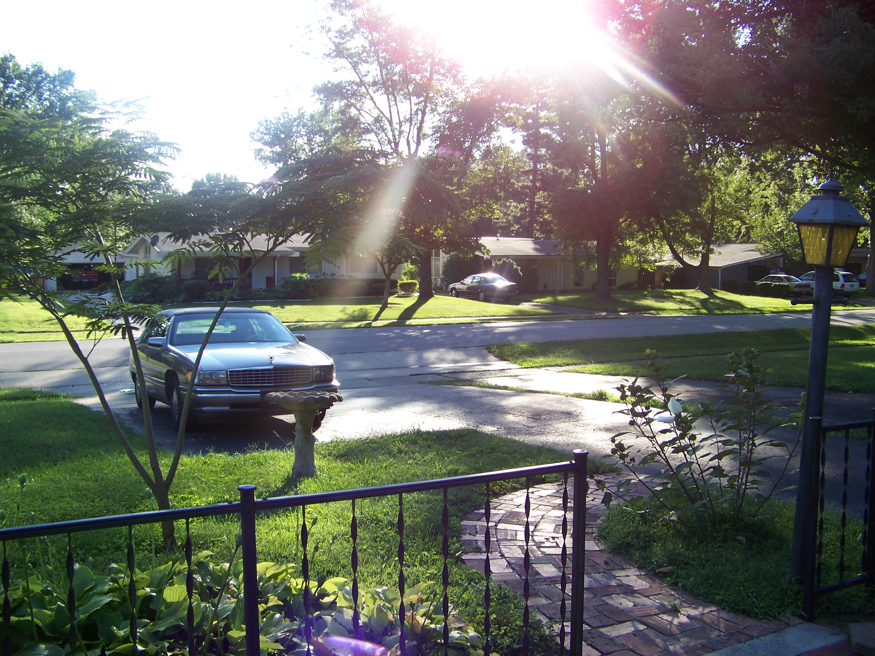
 Quiet day in Moorland
References
- ^ "US Gazetteer files: 2010, 2000, and 1990". United States Census Bureau. 2011-02-12. http://www.census.gov/geo/www/gazetteer/gazette.html. Retrieved 2011-04-23.
- ^ "American FactFinder". United States Census Bureau. http://factfinder.census.gov. Retrieved 2008-01-31.
Municipalities and communities of Jefferson County, Kentucky Cities Anchorage | Audubon Park | Bancroft | Barbourmeade | Beechwood Village | Bellemeade | Bellewood | Blue Ridge Manor | Briarwood | Broeck Pointe | Brownsboro Farm | Brownsboro Village | Cambridge | Coldstream | Creekside | Crossgate | Douglass Hills | Druid Hills | Fincastle | Forest Hills | Glenview | Glenview Hills | Glenview Manor | Goose Creek | Graymoor-Devondale | Green Spring | Heritage Creek | Hickory Hill | Hills and Dales | Hollow Creek | Hollyvilla | Houston Acres | Hurstbourne | Hurstbourne Acres | Indian Hills | Jeffersontown | Kingsley | Langdon Place | Lincolnshire | Louisville (balance) | Lyndon | Lynnview | Manor Creek | Maryhill Estates | Meadow Vale | Meadowbrook Farm | Meadowview Estates | Middletown | Mockingbird Valley | Moorland | Murray Hill | Norbourne Estates | Northfield | Norwood | Old Brownsboro Place | Parkway Village | Plantation | Poplar Hills | Prospect | Richlawn | Riverwood | Rolling Fields | Rolling Hills | St. Matthews | St. Regis Park | Seneca Gardens | Shively | South Park View | Spring Mill | Spring Valley | Strathmoor Manor | Strathmoor Village | Sycamore | Ten Broeck | Thornhill | Watterson Park | Wellington | West Buechel | Westwood | Wildwood | Windy Hills | Woodland Hills | Woodlawn Park | Worthington Hills
Louisville, Kentucky • Portal Subject areas Attractions/Events • Cityscape • Economy • Education • Geography • Government • History • Media • Neighborhoods • Parks • People • Performing arts • Sports • Transportation
Top subjects National
Historic
LandmarksProminent suburbs
(over 10K pop.)Categories:- Cities in Kentucky
- Cities in Jefferson County, Kentucky
- Louisville metropolitan area


Wikimedia Foundation. 2010.