- Critot
-
Critot

 CritotLocation within Upper Normandy region
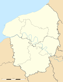 Critot
Administration Country France Region Upper Normandy Department Seine-Maritime Arrondissement Dieppe Canton Saint-Saëns Intercommunality Saint-Saëns-Portes de Bray Mayor Francis Sénécal Statistics Elevation 152–187 m (499–614 ft)
(avg. 171 m/561 ft)Land area1 7.05 km2 (2.72 sq mi) Population2 524 (2006) - Density 74 /km2 (190 /sq mi) INSEE/Postal code 76200/ 76680 1 French Land Register data, which excludes lakes, ponds, glaciers > 1 km² (0.386 sq mi or 247 acres) and river estuaries. 2 Population without double counting: residents of multiple communes (e.g., students and military personnel) only counted once. Coordinates: 49°36′45″N 1°15′07″E / 49.6125°N 1.25194444444°E
Critot is a commune in the Seine-Maritime department in the Haute-Normandie region in northern France.
Contents
Geography
A farming village situated in the Pays de Bray, some 32 miles (51 km) south of Dieppe, at the junction of the D12 and the D57 roads. The A28 autoroute borders the commune to the east.
Population
Historical population of Critot 1962 1968 1975 1982 1990 1999 2006 185 233 234 278 462 451 524 From the year 1962 on: population without double counting—residents of multiple communes (e.g. students and military personnel) are counted only once. Places of interest
- The church of St.Martin, dating from the seventeenth century.
See also
References
External links
- Official website of Critot (French)
- Critot on the Quid website (French)
Categories:- Communes of Seine-Maritime
- Dieppe geography stubs


Wikimedia Foundation. 2010.