- National Register of Historic Places listings in Tuscaloosa County, Alabama
-
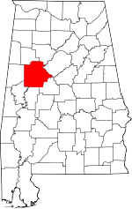 Location of Tuscaloosa County in Alabama
This is a list of the National Register of Historic Places listings in Tuscaloosa County, Alabama.
This is intended to be a complete list of the properties and districts on the National Register of Historic Places in Tuscaloosa County, Alabama, United States. Latitude and longitude coordinates are provided for many National Register properties and districts; these locations may be seen together in a Google map.[1]
There are 35 properties and districts listed on the National Register in the county, including 1 National Historic Landmark.
-
- This National Park Service list is complete through NPS recent listings posted November 10, 2011.[2]
Current listings
[3] Landmark name Image Date listed Location City or town Summary 1 Alabama Insane Hospital 
April 18, 1977 University Boulevard
33°13′00″N 87°32′18″W / 33.216667°N 87.538333°WTuscaloosa 2 Audubon Place Historic District July 11, 1985 1515-1707 (odd) University Boulevard and 8-37 Audubon Pl.
33°12′38″N 87°33′32″W / 33.210556°N 87.558889°WTuscaloosa 3 Bama Theatre-City Hall Building 
August 30, 1984 600 Greensboro Ave.
33°12′30″N 87°34′05″W / 33.208333°N 87.568056°WTuscaloosa 4 Battle-Friedman House 
January 14, 1972 1010 Greensboro Ave.
33°12′16″N 87°33′59″W / 33.204444°N 87.566389°WTuscaloosa 5 Byler Road November 19, 1974 11 mi (18 km) north of Northport, off U.S. Route 43
33°23′16″N 87°35′51″W / 33.387778°N 87.5975°WNorthport 6 Caplewood Drive Historic District May 30, 1985 Roughly bounded by Caplewood Dr., and University Boulevard
33°12′47″N 87°33′22″W / 33.213056°N 87.556111°WTuscaloosa 7 Carson Place March 7, 1985 610 36th Ave.
33°12′19″N 87°35′00″W / 33.205278°N 87.583333°WTuscaloosa 8 City National Bank March 7, 1985 2301 University Boulevard
33°12′35″N 87°34′01″W / 33.209722°N 87.566944°WTuscaloosa 9 Collier-Overby House 
July 14, 1971 Southeastern corner of the junction of 9th St. and 21st Ave.
33°12′25″N 87°33′44″W / 33.206944°N 87.562222°WTuscaloosa 10 Downtown Tuscaloosa Historic District May 15, 1986 Roughly bounded by 4th St., 22nd Ave., 7th St., and Greensboro Ave.
33°12′35″N 87°34′02″W / 33.209722°N 87.567222°WTuscaloosa 11 Druid City Historic District February 24, 1975 Roughly bounded by Queen City Pike, 16th St., 15th St., and 21st Ave.
33°12′29″N 87°33′38″W / 33.208056°N 87.560556°WTuscaloosa 12 East Northport Historic District March 26, 2004 Roughly bounded by 20th St., 8th Ave., Rice Mine Rd., and Bridge Ave.
33°13′30″N 87°34′20″W / 33.225°N 87.572222°WNorthport 13 First African Baptist Church September 28, 1988 2621 9th St.
33°12′17″N 87°34′12″W / 33.204722°N 87.57°WTuscaloosa 14 Fitch House July 22, 1987 3404 6th St.
33°12′20″N 87°34′49″W / 33.205556°N 87.580278°WTuscaloosa 15 Foster Auditorium, The University of Alabama 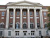
April 5, 2005 6th Avenue, on the University of Alabama campus
33°13′15″N 87°32′15″W / 33.220882°N 87.537518°WTuscaloosa 16 Foster Home/Sylvan Plantation March 7, 1985 Off U.S. Route 11
33°04′50″N 87°42′09″W / 33.080556°N 87.7025°WTuscaloosa 17 Gorgas-Manly Historic District 
July 14, 1971 On the University of Alabama campus
33°12′44″N 87°32′45″W / 33.212222°N 87.545833°WTuscaloosa 18 Guild-Verner House December 4, 1973 1904 University Ave.
33°12′42″N 87°33′43″W / 33.211667°N 87.561944°WTuscaloosa 19 Robert Jemison Servants' House 
November 29, 1990 2303 13th St.
33°12′08″N 87°33′50″W / 33.202222°N 87.563889°WTuscaloosa 20 Jemison-Vandegraaff House 
April 19, 1972 1305 Greensboro Ave.
33°12′10″N 87°33′54″W / 33.202778°N 87.565°WTuscaloosa 21 Samuel Johnson House October 4, 2002 Shelley Hughes Rd.
33°16′37″N 87°44′30″W / 33.276944°N 87.741667°WBuhl 22 Murphy-Collins House January 28, 1993 2601 Paul Bryant Dr.
33°12′15″N 87°34′09″W / 33.204167°N 87.569167°WTuscaloosa 23 Northport Historic District May 1, 1980 25th, 26th, 28th, and 30th Aves. and Main, 5th, and 6th Sts.
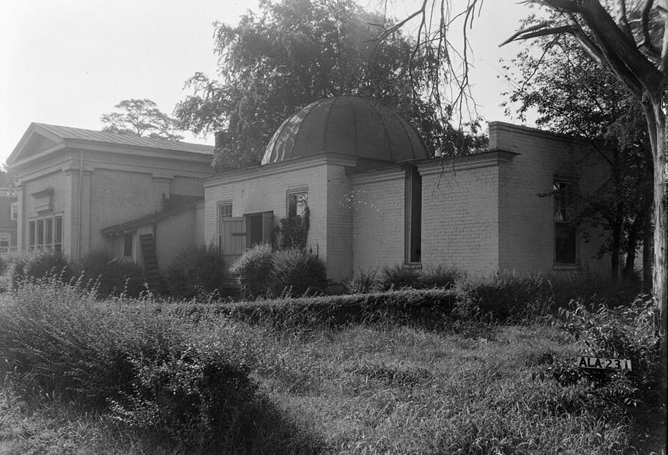
33°13′08″N 87°34′49″W / 33.218889°N 87.580278°WNorthport 24 Old Observatory 
January 14, 1972 North of University Boulevard on the University of Alabama campus
33°12′40″N 87°32′57″W / 33.211111°N 87.549167°WTuscaloosa 25 Old Tuscaloosa County Jail November 28, 1979 2803 6th St.
33°12′25″N 87°34′24″W / 33.206944°N 87.573333°WTuscaloosa 26 Pinehurst Historic District June 5, 1986 215 and 305 17th Ave., 1-28 Pinehurst Dr., and 6-9 N. Pinehurst Dr.
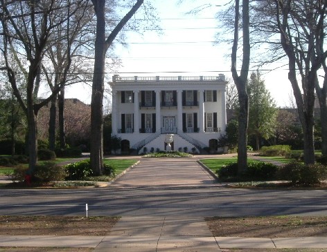
33°12′48″N 87°33′29″W / 33.213333°N 87.558056°WTuscaloosa 27 President's Mansion 
January 14, 1972 On the University of Alabama campus
33°12′31″N 87°32′47″W / 33.208611°N 87.546389°WTuscaloosa 28 Margaret Quayle Lustron House February 24, 2000 27 Parkview Dr.
33°11′59″N 87°32′54″W / 33.199722°N 87.548333°WTuscaloosa 29 Queen City Pool and Pool House September 10, 1992 Junction of Queen City Ave. and Riverside Dr.
33°12′53″N 87°33′48″W / 33.214722°N 87.563333°WTuscaloosa 30 Searcy House April 21, 1975 2606 8th St.
33°12′46″N 87°34′42″W / 33.212778°N 87.578333°WTuscaloosa 31 Searcy House September 14, 1984 815 Greensboro Ave.
33°12′23″N 87°33′59″W / 33.206389°N 87.566389°WTuscaloosa 32 James Shirley House March 24, 1972 512 Main Ave.
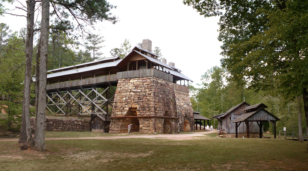
33°13′10″N 87°34′45″W / 33.219444°N 87.579167°WNorthport 33 Tannehill Furnace 
July 24, 1972 3 mi (4.8 km) east of U.S. Route 11
33°15′00″N 87°04′23″W / 33.25°N 87.073056°WMcCalla 34 Wheeler House April 28, 1980 2703 7th St.
33°12′23″N 87°34′18″W / 33.206389°N 87.571667°WTuscaloosa 35 Wilson-Clements House April 11, 1985 1802 20th Ave.
33°13′43″N 87°34′41″W / 33.228611°N 87.578056°WNorthport See also
- List of National Historic Landmarks in Alabama
- National Register of Historic Places listings in Alabama
References
- ^ The latitude and longitude information provided in this table was derived originally from the National Register Information System, which has been found to be fairly accurate for about 99% of listings. For about 1% of NRIS original coordinates, experience has shown that one or both coordinates are typos or otherwise extremely far off; some corrections may have been made. A more subtle problem causes many locations to be off by up to 150 yards, depending on location in the country: most NRIS coordinates were derived from tracing out latitude and longitudes off of USGS topographical quadrant maps created under the North American Datum of 1927, which differs from the current, highly accurate WGS84 GPS system used by Google maps. Chicago is about right, but NRIS longitudes in Washington are higher by about 4.5 seconds, and are lower by about 2.0 seconds in Maine. Latitudes differ by about 1.0 second in Florida. Some locations in this table may have been corrected to current GPS standards.
- ^ "National Register of Historic Places: Weekly List Actions". National Park Service, United States Department of the Interior. Retrieved on November 10, 2011.
- ^ Numbers represent an ordering by significant words. Various colorings, defined here, differentiate National Historic Landmark sites and National Register of Historic Places Districts from other NRHP buildings, structures, sites or objects.
U.S. National Register of Historic Places in Alabama Lists by county Autauga • Baldwin • Barbour • Bibb • Blount • Bullock • Butler • Calhoun • Chambers • Cherokee • Chilton • Choctaw • Clarke • Clay • Cleburne • Coffee • Colbert • Conecuh • Coosa • Covington • Crenshaw • Cullman • Dale • Dallas • DeKalb • Elmore • Escambia • Etowah • Fayette • Franklin • Geneva • Greene • Hale • Henry • Houston • Jackson • Jefferson • Lamar • Lauderdale • Lawrence • Lee • Limestone • Lowndes • Macon • Madison • Marengo • Marion • Marshall • Mobile • Monroe • Montgomery • Morgan • Perry • Pickens • Pike • Randolph • Russell • St. Clair • Shelby • Sumter • Talladega • Tallapoosa • Tuscaloosa • Walker • Washington • Wilcox • Winston

Lists by city Other lists Municipalities and communities of Tuscaloosa County, Alabama Cities 
Towns CDP Unincorporated
communitiesFootnotes ‡This populated place also has portions in an adjacent county or counties
Categories:- National Register of Historic Places in Tuscaloosa County, Alabama
-


Wikimedia Foundation. 2010.