- Westlock County, Alberta
-
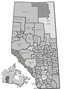
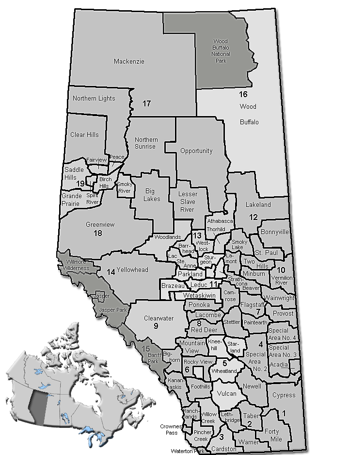
Westlock County — Municipal district — Location of Westlock County in Alberta
Coordinates: 54°09′8″N 113°51′4″W / 54.15222°N 113.85111°WCoordinates: 54°09′8″N 113°51′4″W / 54.15222°N 113.85111°W Country  Canada
Province  Alberta
Region Central Alberta Census division No. 13 Established 1943 Incorporated 1998 (County) Government[1] – Reeve Charles Navratil – Governing body Westlock County Council – Municipal seat Westlock Area – Total 3,175 km2 (1,225.9 sq mi) Population (2006)[2] – Total 6,910 – Density 2.2/km2 (5.7/sq mi) – Dwellings 2,589 Time zone MST (UTC−7) – Summer (DST) MDT (UTC−6) Website Westlock County Westlock County is a municipal district in central Alberta north of Edmonton. The county was formerly known as the Municipal District of Westlock No. 92, and was created in 1943 from the merger of five smaller municipal districts.
The county lies on the boundary of two of Canada's largest watershed basins. To the north is the Athabasca River, which drains into the Arctic Ocean via the Mackenzie River. To the south is the Sturgeon River which drains via the North Saskatchewan into Hudson Bay.
Contents
Communities
- Towns
- Villages
- Summer villages
- Summer Village of Larkspur
- Hamlets
Westlock County has nine communities recognized as hamlets.
- Other unincorporated communities
- Rossington
Demographics
In 2006, Westlock County had a population of 6,910 living in 2,589 dwellings, an 0.7% increase from 2001. The municipal district has a land area of 3,174.60 km2 (1,225.72 sq mi) and a population density of 2.2 /km2 (5.7 /sq mi).[2]
According to the Canada 2001 Census:
- Population: 6,859 (2001)
- % Change (1996-2001): −1.4
- Dwellings: 2,634
- Area (km2.): 3,168.21
- Density (persons per km2.): 2.2
The county consists of 3,167 square kilometres (1,200 mi2) with a population of 6,958. Approximately 1,300 farmers in the county grow crops and raise livestock on 2974 square kilometres (734,829 acres) with a combined investment of over C$500 million in land, buildings, equipment and livestock.
In 2001, 295 of the county's residents identified as Aboriginal.
Council and administration
The municipal government consists of a reeve and six other elected councillors who work with a permanent staff of 32.
See also
- List of communities in Alberta
- List of municipal districts in Alberta
References
- ^ Alberta Municipal Affairs: Municipal Officials Search
- ^ a b Statistics Canada (Census 2006). "Westlock County - Community Profile". http://www12.statcan.ca/english/census06/data/profiles/community/Details/Page.cfm?Lang=E&Geo1=CSD&Code1=4813028&Geo2=PR&Code2=48&Data=Count&SearchText=Westlock%20County&SearchType=Begins&SearchPR=01&B1=All&GeoLevel=&GeoCode=4813028. Retrieved 2007-06-11.
External links
- Westlock County - Official site
- Statistics Canada. 2001. Westlock County profile
- Alberta First. Westlock County Statistics
- AAMDC. Westlock County
Categories:- Westlock County, Alberta
- 1943 establishments

Wikimedia Foundation. 2010.