- Columbus, Kansas
-
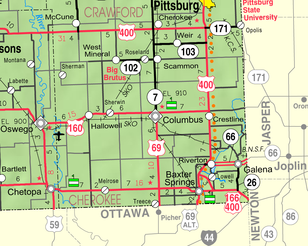
Columbus, Kansas — City — Location of Columbus, Kansas

Coordinates: 37°10′17″N 94°50′27″W / 37.17139°N 94.84083°WCoordinates: 37°10′17″N 94°50′27″W / 37.17139°N 94.84083°W Country United States State Kansas County Cherokee Area - Total 2.4 sq mi (6.2 km2) - Land 2.4 sq mi (6.2 km2) - Water 0.0 sq mi (0.0 km2) Elevation 912 ft (278 m) Population (2010)[1] - Total 3,312 - Density 1,380/sq mi (532.8/km2) Time zone Central (CST) (UTC-6) - Summer (DST) CDT (UTC-5) ZIP code 66725 Area code(s) 620 FIPS code 20-15075[2] GNIS feature ID 0469479[3] Website City WebSite Columbus is the second largest city and county seat of Cherokee County, Kansas, United States, 15 miles south-southwest of Pittsburg, Kansas. As of the 2010 census, the city population was 3,312.[1]
Contents
History
Columbus was a railroad junction for the Saint Louis and San Francisco, and the Missouri, Kansas, and Texas railroads. It was named Columbus by A.L. Peters, one of the European-American founders, for his hometown of Columbus, Ohio; the name thus indirectly honors Christopher Columbus, the explorer.[4][5] Coal, lead and zinc were mined in the region. Columbus had a considerable trade in agricultural products, and its businesses included machine shops, grain elevators, flour mills, a cigar factory, bottle works (soft drinks), a canning factory, and an extensive brick-making plant.[6]
In 1875, Robert A. Long and Victor Bell formed the Long-Bell Lumber Company in Columbus. From one lumberyard, Long-Bell expanded operations and holdings to become one of the largest vertically integrated lumber companies in the United States. In 1956 it was purchased by International Paper.[7]
Geography
Columbus is located at 37°10′17″N 94°50′27″W / 37.17139°N 94.84083°W (37.171379, -94.840704)[8]. According to the United States Census Bureau, the city has a total area of 2.4 square miles (6.2 km2), all of it land.
Demographics
Historical populations Census Pop. %± 1990 3,268 — 2000 3,396 3.9% 2010 3,312 −2.5% U.S. Decennial Census As of the census[2] of 2000, there were 3,396 people, 1,412 households, and 885 families residing in the city. The population density was 1,408.6 people per square mile (544.1/km²). There were 1,610 housing units at an average density of 667.8 per square mile (257.9/km²). The racial makeup of the city was 94.70% White, 0.32% African American, 1.56% Native American, 0.41% Asian, 0.77% from other races, and 2.24% from two or more races. Hispanic or Latino of any race were 2.03% of the population.
There were 1,412 households out of which 29.7% had children under the age of 18 living with them, 47.5% were married couples living together, 11.3% had a female householder with no husband present, and 37.3% were non-families. 34.5% of all households were made up of individuals and 18.7% had someone living alone who was 65 years of age or older. The average household size was 2.30 and the average family size was 2.94.
In the city the population was spread out with 26.3% under the age of 18, 8.4% from 18 to 24, 24.3% from 25 to 44, 20.7% from 45 to 64, and 20.3% who were 65 years of age or older. The median age was 38 years. For every 100 females there were 82.1 males. For every 100 females age 18 and over, there were 78.1 males.
The median income for a household in the city was $27,530, and the median income for a family was $38,136. Males had a median income of $30,541 versus $17,069 for females. The per capita income for the city was $14,937. About 12.2% of families and 16.2% of the population were below the poverty line, including 23.1% of those under age 18 and 8.3% of those age 65 or over.
Notable people
- Marcellus Boss, 5th Civilian Governor of Guam
- James Reed Hallowell, politician
- Doro Merande, American film, stage and television actress
- Merle Evans, Circus Bandleader for Ringling Brothers and Barnum & Bailey Circus
- Norma Terris, American singer and actress
References
- ^ a b "2010 City Population and Housing Occupancy Status". U.S. Census Bureau. http://factfinder2.census.gov/faces/tableservices/jsf/pages/productview.xhtml?pid=DEC_10_PL_GCTPL2.ST13&prodType=table. Retrieved March 6, 2011.
- ^ a b "American FactFinder". United States Census Bureau. http://factfinder.census.gov. Retrieved 2008-01-31.
- ^ "US Board on Geographic Names". United States Geological Survey. 2007-10-25. http://geonames.usgs.gov. Retrieved 2008-01-31.
- ^ John Rydjord, Kansas Place-Names, University of Oklahoma Press, 1972, ISBN 0-8061-0994-7
- ^ The Modern Light, Columbus, August 16, 1951
- ^ http://skyways.lib.ks.us/genweb/archives/cherokee/1904/cherokee-ch12.html
- ^ William E. Connelley, A Standard History of Kansas and Kansans,, Chicago: Lewis Publishing Company, 1918
- ^ "US Gazetteer files: 2010, 2000, and 1990". United States Census Bureau. 2011-02-12. http://www.census.gov/geo/www/gazetteer/gazette.html. Retrieved 2011-04-23.
Further reading
- History of the State of Kansas; William G. Cutler; A.T. Andreas Publisher; 1883. (Online HTML eBook)
- Kansas : A Cyclopedia of State History, Embracing Events, Institutions, Industries, Counties, Cities, Towns, Prominent Persons, Etc; 3 Volumes; Frank W. Blackmar; Standard Publishing Co; 944 / 955 / 824 pages; 1912. (Volume1 - Download 54MB PDF eBook),(Volume2 - Download 53MB PDF eBook), (Volume3 - Download 33MB PDF eBook)
External links
- City
- Schools
- USD 493, local school district
- Maps
- Columbus City Map, KDOT
- Cherokee County Map, KDOT
Municipalities and communities of Cherokee County, Kansas County seat: ColumbusCities Baxter Springs | Columbus | Galena | Roseland | Scammon | Treece | Weir | West Mineral

Townships Unincorporated
communitiesCategories:- Cities in Kansas
- County seats in Kansas
- Populated places in Cherokee County, Kansas

Wikimedia Foundation. 2010.