- Cotulla, Texas
-
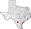
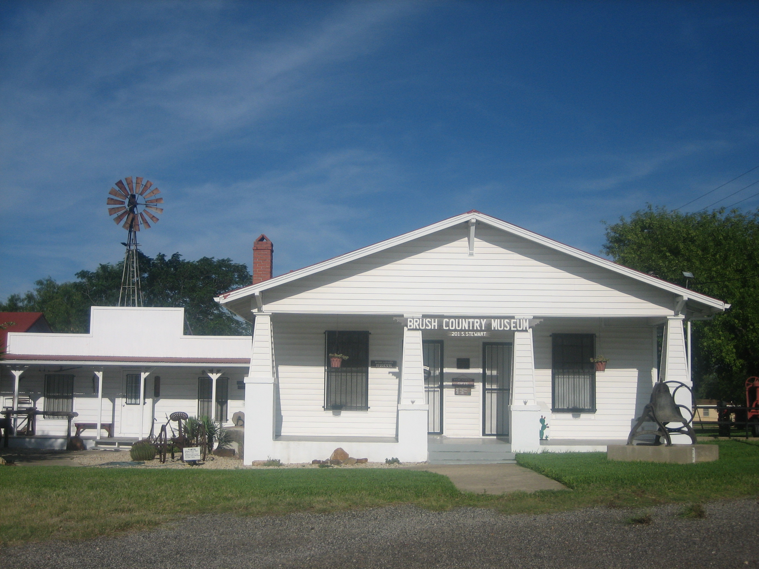
Cotulla, Texas — City — Brush Country Museum in Cotulla Location of Cotulla, Texas
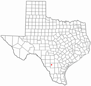

Coordinates: 28°26′3″N 99°14′11″W / 28.43417°N 99.23639°WCoordinates: 28°26′3″N 99°14′11″W / 28.43417°N 99.23639°W Country United States State Texas County La Salle Area – Total 2.0 sq mi (5.1 km2) – Land 2.0 sq mi (5.1 km2) – Water 0.0 sq mi (0.0 km2) Elevation 427 ft (130 m) Population (2000) – Total 3,614 – Density 1,831.8/sq mi (707.3/km2) Time zone Central (CST) (UTC-6) – Summer (DST) CDT (UTC-5) ZIP codes 78001, 78014 Area code(s) 830 FIPS code 48-17216[1] GNIS feature ID 1333494[2] Cotulla is a city in and the county seat of La Salle County, Texas, United States.[3] The population was 3,614 at the 2000 census.
Contents
History
In 1868, Polish immigrant Joseph Cotulla arrived in La Salle County and eventually established a large ranching operation. After learning that the International-Great Northern Railroad intended to lay tracks in La Salle County, he worked to establish the town of Cotulla. In 1881, he donated 120 acres of his land to the railroad, and 1882, a depot was built there. In 1883, the town was granted a post office. The same year, Cotulla became the county seat by special election.[4]
In 1973, two railroad locomotives collided in Cotulla, and three people were killed as a result.[5]
In 2008, the area about Cotulla burned in a huge grass fire.
Geography
Cotulla is located at 28°26′3″N 99°14′11″W / 28.43417°N 99.23639°W (28.434144, -99.236343)[6].
According to the United States Census Bureau, the city has a total area of 2.0 square miles (5.2 km2), all of it land.
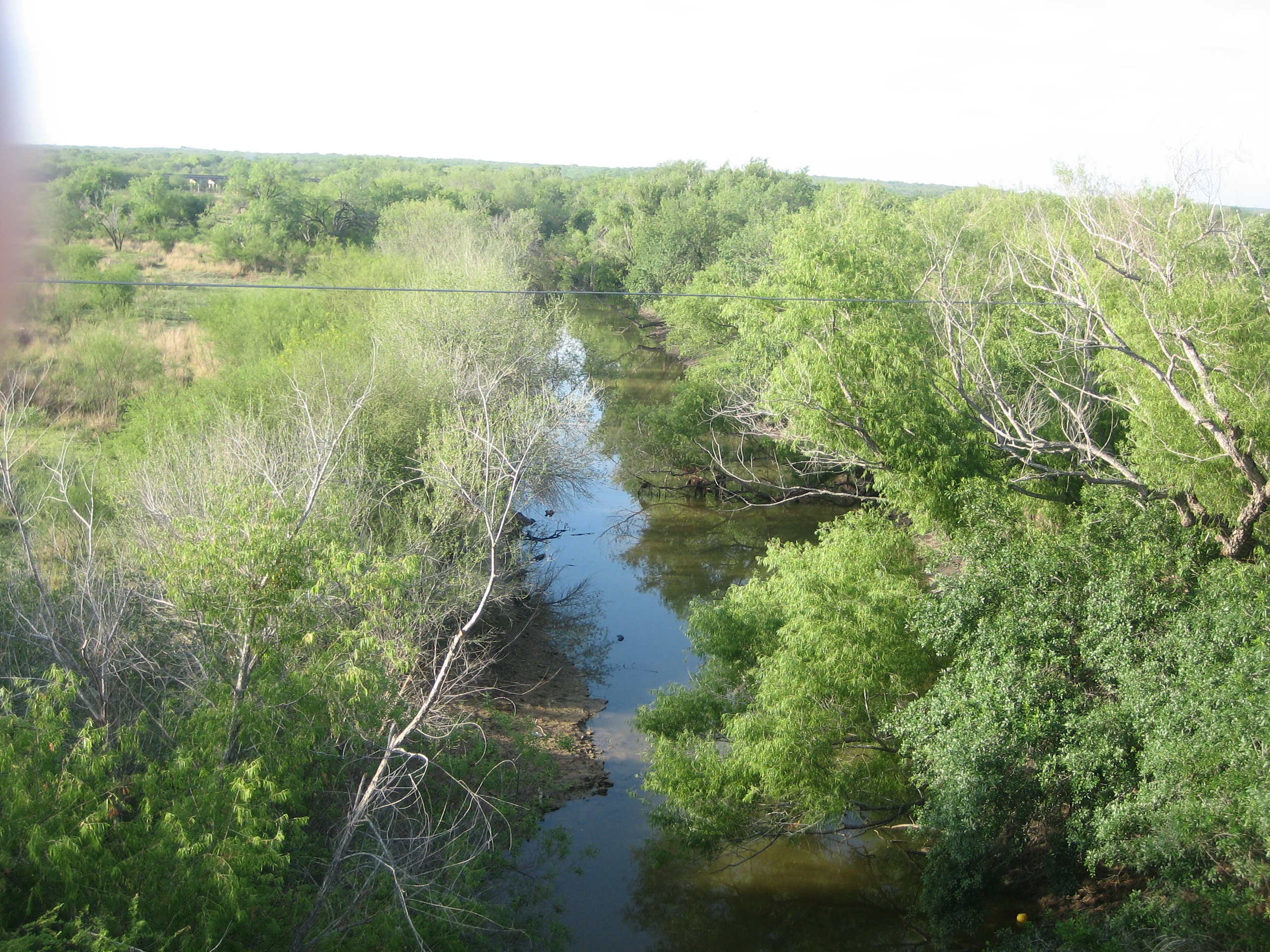
The Nueces River flows through southern Cotulla in a southeastward direction to the Gulf of Mexico near Corpus Christi.
Demographics
As of the census[1] of 2000, there were 3,614 people, 1,208 households, and 901 families residing in the city. The population density was 1,831.8 people per square mile (708.3/km²). There were 1,504 housing units at an average density of 762.3 per square mile (294.8/km²). The racial makeup of the city was 83.45% White, 0.64% African American, 0.39% Native American, 0.50% Asian, 12.67% from other races, and 2.35% from two or more races. Hispanic or Latino of any race were 83.56% of the population.
There were 1,208 households out of which 39.0% had children under the age of 18 living with them, 52.7% were married couples living together, 17.8% had a female householder with no husband present, and 25.4% were non-families. 22.6% of all households were made up of individuals and 11.8% had someone living alone who was 65 years of age or older. The average household size was 2.95 and the average family size was 3.50.
In the city the population was spread out with 33.6% under the age of 18, 8.6% from 18 to 24, 24.0% from 25 to 44, 21.3% from 45 to 64, and 12.5% who were 65 years of age or older. The median age was 32 years. For every 100 females there were 90.2 males. For every 100 females age 18 and over, there were 87.2 males.
The median income for a household in the city was $23,250, and the median income for a family was $25,951. Males had a median income of $21,199 versus $17,415 for females. The per capita income for the city was $10,856. About 27.9% of families and 30.1% of the population were below the poverty line, including 39.0% of those under age 18 and 28.1% of those age 65 or over.
Law and Government
The La Salle County Courthouse in Cotulla is undergoing extensive renovation. County employees have in the meantime assumed temporary offices.
Education
- Cotulla is within the Cotulla Independent School District. Cotulla High School, with grades 9-12, is located east of town. The modern structure is divided into several noncontinuous units.
Arts and Culture
The Brush Country Museum, with various local ranching memorabilia, is located in Cotulla.
Religion
The city has Roman Catholic, Baptist, United Methodist, Presbyterian, and non-denominational churches. The Presbyterians and Baptists originally shared the Methodist facilities, which began in 1881. New Methodist buildings were constructed in 1906 and again in 1928.[7]
In 1883-1884, the Reverend W.D. Johnson organized a Baptist fellowship in Cotulla. After several years of meeting at the Methodist Church, the first Baptist building opened in 1889, with the minister John Van Epps Covey (1821–1898) preaching the first sermon in the new structure. The current church sanctuary on Main Street opened in 1948 under the leadership of the Reverend Jesse Cooke.[8] The new First Baptist pastor in Cotulla as of 2011 is Loren G. Fast.
Prevailing Word Church, located in a new sanctuary at 419 South Main, had co-pastors in 2009, L. Lynn Beams and Abram De La Garza. It has services at 3 p.m. Sundays, rather than the customary morning hours, and mid-week services on Thursday eveings, instead of Wednesday.[9]
Notable people
- Former U.S. President Lyndon B. Johnson taught public school in Cotulla in 1928 for one year.
- Jeff Bezos, founder and CEO of Amazon.com; his maternal ancestors were settlers from Greece who lived in Texas. Over the generations, the family has acquired a 25,000-acre (100 km2) ranch in Cotulla.
- George Strait also has a ranch near Cotulla.
- Josh Beckett, pitcher for the Boston Red Sox, owns Herradura Ranch, a 7,000-acre (28 km2) deer-hunting enclave located approximately 28 miles (45 km) from Cotulla.
Gallery
-
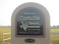
Cotulla downtown sign
-

The Nueces River with a low water level (2009) as it flows through Cotulla
-

The Nueces with a higher water level on New Years Day 2010
-

Stockmens National Bank in Cotulla
-

Part of older downtown part of Cotulla
-

Sacred Heart Catholic Church in Cotulla
-

First United Methodist Church in Cotulla dates to 1881.
-

The First Baptist Church of Cotulla was established in the 1880s. The current sanctuary was completed in 1948.
-

Prevailing Word Church, a nondenominational congregation, meets in Cotulla each Sunday at 3 p.m.
-

Abandoned Wagon Wheel Restaurant near the Nueces River was razed in 2009.
References
- ^ a b "American FactFinder". United States Census Bureau. http://factfinder.census.gov. Retrieved 2008-01-31.
- ^ "US Board on Geographic Names". United States Geological Survey. 2007-10-25. http://geonames.usgs.gov. Retrieved 2008-01-31.
- ^ "Find a County". National Association of Counties. http://www.naco.org/Counties/Pages/FindACounty.aspx. Retrieved 2011-06-07.
- ^ Leffler, John. "Cotulla, TX - Handbook of Texas Online". Texas State Historical Association. http://www.tshaonline.org/handbook/online/articles/hgc16. Retrieved 24 May 2011.
- ^ Glenewinkel, Jay. "Missouri Pacific Disaster in Cotulla, Texas 1973". trainweb.org. http://www.trainweb.org/screamingeagle/cotulla.html. Retrieved 24 May 2011.
- ^ "US Gazetteer files: 2010, 2000, and 1990". United States Census Bureau. 2011-02-12. http://www.census.gov/geo/www/gazetteer/gazette.html. Retrieved 2011-04-23.
- ^ Texas Historical Commission, historical marker, First United Methodist Church of Cotulla
- ^ Texas Historical Commission, historical marker, First Baptist Church of Cotulla
- ^ "Prevailing Word Church". americantowns.com. http://www.americantowns.com/tx/cotulla/organization/prevailing_word_church. Retrieved January 3, 2009.
External links
- Handbook of Texas Online article
- Cotulla Airport (Page Aviation)
Municipalities and communities of La Salle County, Texas County seat: CotullaCities Cotulla | Encinal
CDP Unincorporated
communitiesArtesia Wells | Los Angeles
County seats of Texas A B Baird · Ballinger · Bandera · Bastrop · Bay City · Beaumont · Beeville · Bellville · Belton · Benjamin · Big Lake · Big Spring · Boerne · Bonham · Boston · Brackettville · Brady · Breckenridge · Brenham · Brownfield · Brownsville · Brownwood · Bryan · BurnetC Caldwell · Cameron · Canadian · Canton · Canyon · Carrizo Springs · Carthage · Center · Centerville · Channing · Childress · Clarendon · Clarksville · Claude · Cleburne · Coldspring · Coleman · Colorado City · Columbus · Comanche · Conroe · Cooper · Corpus Christi · Corsicana · Cotulla · Crane · Crockett · Crosbyton · Crowell · Crystal City · CueroD E F Fairfield · Falfurrias · Farwell · Floresville · Floydada · Fort Davis · Fort Stockton · Fort Worth · Franklin · FredericksburgG Gail · Gainesville · Galveston · Garden City · Gatesville · George West · Georgetown · Giddings · Gilmer · Glen Rose · Goldthwaite · Goliad · Gonzales · Graham · Granbury · Greenville · Groesbeck · Groveton · GuthrieH Hallettsville · Hamilton · Haskell · Hebbronville · Hemphill · Hempstead · Henderson · Henrietta · Hereford · Hillsboro · Hondo · Houston · HuntsvilleJ K L M N O P Paducah · Paint Rock · Palestine · Palo Pinto · Panhandle · Paris · Pearsall · Pecos · Perryton · Pittsburg · Plains · Plainview · Port Lavaca · PostQ R Rankin · Raymondville · Refugio · Richmond · Rio Grande City · Robert Lee · Roby · Rockport · Rocksprings · Rockwall · RuskS San Angelo · San Antonio · San Augustine · San Diego · San Marcos · San Saba · Sanderson · Sarita · Seguin · Seminole · Seymour · Sherman · Sierra Blanca · Silverton · Sinton · Snyder · Sonora · Spearman · Stanton · Stephenville · Sterling City · Stinnett · Stratford · Sulphur Springs · SweetwaterT, U V, W, Z Van Horn · Vega · Vernon · Victoria · Waco · Waxahachie · Weatherford · Wellington · Wharton · Wheeler · Wichita Falls · Woodville · ZapataCategories:- Cities in Texas
- Populated places in La Salle County, Texas
- County seats in Texas
- Populated places in Texas with Hispanic majority populations


Wikimedia Foundation. 2010.