Collinsville, California

Collinsville, California

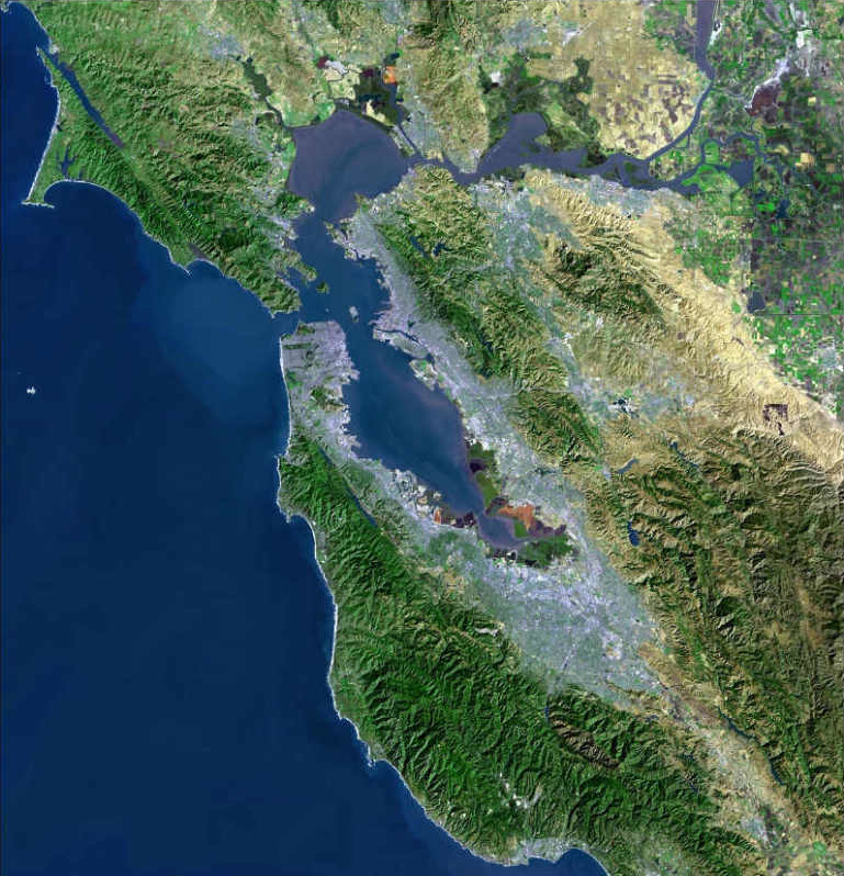
Collinsville is an unincorporated rural community in Solano County, California, USA. It is located next to the Sacramento River Delta on the north side of the Sacramento River, and is effectively separated from the more intense urban development in Contra Costa County immediately across the river. The area was once proposed for a major chemical plant of the Dow Chemical Company in the 1980s[1]. The community is in ZIP code 94585 and area code 707.

Politics

In the state legislature Collinsville is located in the 2nd Senate District, represented by Democrat Noreen Evans, and in the 8th Assembly District, represented by Democrat Mariko Yamada. Federally, Collinsville is located in California's 10th congressional district.

References

  1. ^ C.Michael Hogan and Marc Papineau, Air Quality Impact Analysis of the Proposed Dow Collinsville Plant, prepared by Earth Metrics Incorporated for Solano County (1980)

Coordinates: 38°04′37″N 121°50′56″W / 38.07694°N 121.84889°W / 38.07694; -121.84889


Wikimedia Foundation. 2010.

Игры ⚽ Поможем сделать НИР

Look at other dictionaries:

  • Collinsville (California) — Collinsville Área no incorporada de los Estados Unidos …   Wikipedia Español

  • Collinsville — puede referirse a: Collinsville, ciudad en Australia. Las siguientes localidades de Estados Unidos: Collinsville (Alabama) Collinsville (California) Collinsville (Connecticut) Collinsville (Illinois) Collinsville (Misisipi) Collinsville… …   Wikipedia Español

  • Collinsville — There are a number of cities or towns named Collinsville: Australia Collinsville, Queensland United States Collinsville, Alabama Collinsville, California Collinsville, Connecticut Collinsville, Illinois Collinsville, Mississippi Collinsville,… …   Wikipedia

  • Collinsville, Connecticut — Collinsville Historic District U.S. National Register of Historic Places U.S. Historic district …   Wikipedia

  • Collinsville (Canton, Connecticut) — Collinsville is a census designated place (CDP) in Hartford County, Connecticut, United States. The population was 2,686 at the 2000 census. Collinsville is located in the southeastern part of Canton, CT and was built around The Collins Company… …   Wikipedia

  • Collinsville Masonic Temple Lodge No. 712 A.F. & A.M. — Collinsville Masonic Temple Lodge #712 A.F. A.M. U.S. National Register of Historic Places …   Wikipedia

  • California State Route 113 — Infobox road state=CA type=SR route=113 section=413 maint=Caltrans length mi=59 length round=0 length ref= [ [http://www.dot.ca.gov/hq/structur/strmaint/brlog2.htm January 1, 2006 California Log of Bridges on State Highways] ] direction a=South… …   Wikipedia

  • National Register of Historic Places listings in Solano County, California — s Map of all coordinates from Google Map of all coordinates from Bing …   Wikipedia

  • Solano County, California — County of Solano   County   The Solano County Government Center in Downtown Fairfield …   Wikipedia

  • Montezuma, California — Montezuma is a former hamlet and township in Solano County, California, located in the California Delta region of the state; the township, which embraced the hamlet, and several other places, such as Bird s Landing which still exists included… …   Wikipedia

Share the article and excerpts

Direct link
Do a right-click on the link above
and select “Copy Link”