- National Register of Historic Places listings in Tioga County, Pennsylvania
-
 Location of Tioga County in Pennsylvania
This is a list of the National Register of Historic Places listings in Tioga County, Pennsylvania.
This is intended to be a complete list of the properties and districts on the National Register of Historic Places in Tioga County, Pennsylvania, United States. The locations of National Register properties and districts for which the latitude and longitude coordinates are included below, may be seen in a Google map.[1]
There are 8 properties and districts listed on the National Register in the county.
-
- This National Park Service list is complete through NPS recent listings posted November 10, 2011.[2]
Current listings
[3] Landmark name[4] Image Date listed Location City or Town Summary 1 Colton Point State Park 
February 12, 1987 5 miles (8.0 km) south of U.S. Route 6 at Ansonia
41°42′13″N 77°27′51″W / 41.70361°N 77.46417°WShippen Township 2 James Ford House 
December 6, 1975 Cowanesque Street
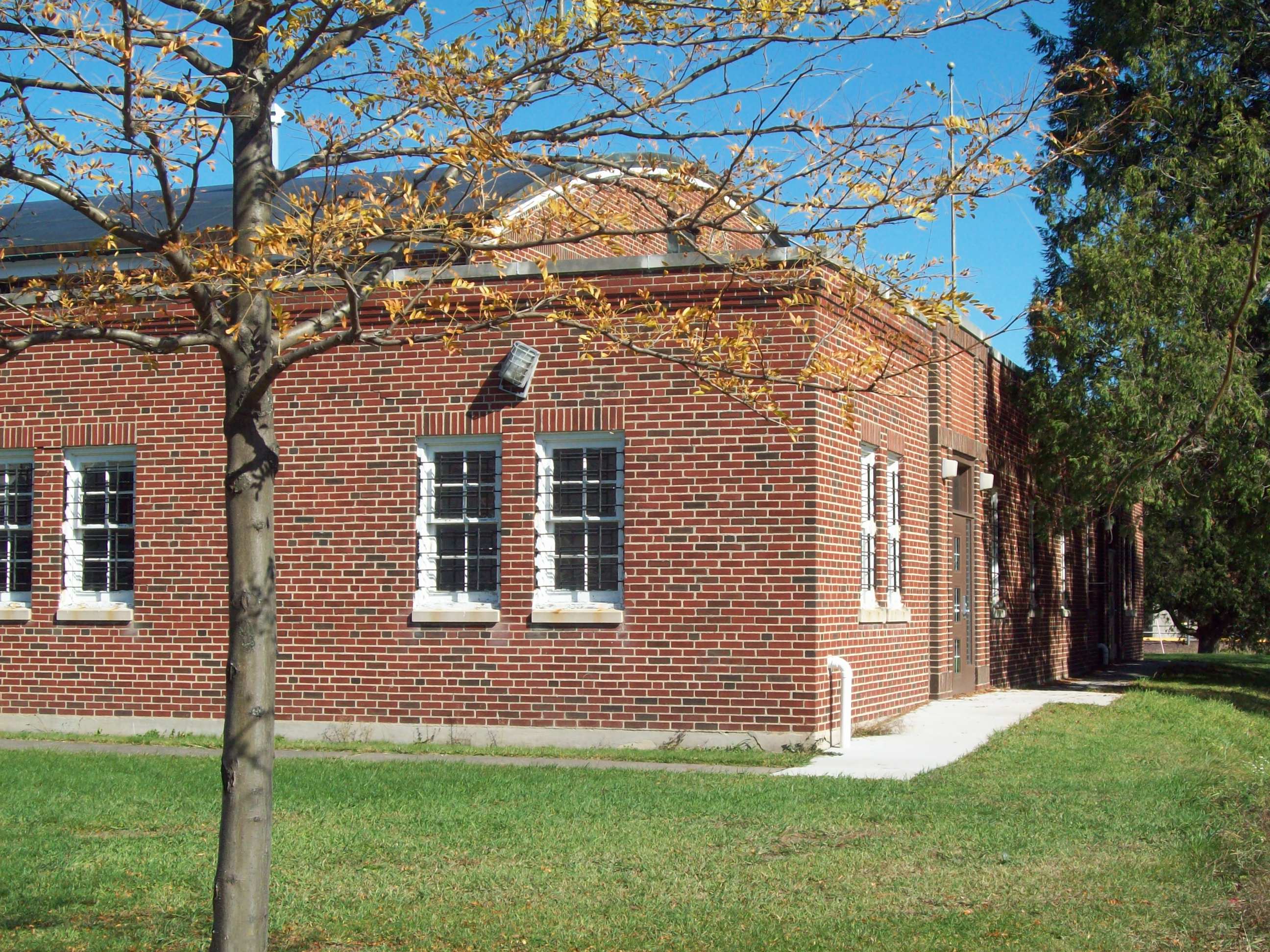
41°59′46″N 77°7′44″W / 41.99611°N 77.12889°WLawrenceville 3 Mansfield Armory 
May 9, 1991 Smythe Park
41°48′23″N 77°4′46″W / 41.80639°N 77.07944°WMansfield 4 Robinson House 
August 3, 1977 120 Main Street
41°44′48″N 77°18′14″W / 41.74667°N 77.30389°WWellsboro 5 Jesse Robinson House 
February 21, 1991 141 Main Street
41°44′42″N 77°18′16″W / 41.745°N 77.30444°WWellsboro 6 Judge John Ryon House 
December 16, 1977 Main Street
41°59′41″N 77°7′35″W / 41.99472°N 77.12639°WLawrenceville 7 Wellsboro Armory 
May 9, 1991 2 Central Avenue
41°44′51″N 77°18′11″W / 41.7475°N 77.30306°WWellsboro 8 Wellsboro Historic District 
January 5, 2005 Roughly bounded by Nichols, Tioga, Charleston, Jackson Streets, East Avenue, Bacon Street, Morris Lane, Sturrock, Meade, Grant, Walnut, Academy Streets, West Avenue, West Water and Highland Streets
41°44′57″N 77°18′5″W / 41.74917°N 77.30139°WWellsboro See also
- List of National Historic Landmarks in Pennsylvania
- National Register of Historic Places listings in Pennsylvania
- List of Pennsylvania state historical markers in Tioga County
References
- ^ The latitude and longitude information provided in this table was derived originally from the National Register Information System, which has been found to be fairly accurate for about 99% of listings. For about 1% of NRIS original coordinates, experience has shown that one or both coordinates are typos or otherwise extremely far off; some corrections may have been made. A more subtle problem causes many locations to be off by up to 150 yards, depending on location in the country: most NRIS coordinates were derived from tracing out latitude and longitudes off of USGS topographical quadrant maps created under the North American Datum of 1927, which differs from the current, highly accurate WGS84 GPS system used by Google maps. Chicago is about right, but NRIS longitudes in Washington are higher by about 4.5 seconds, and are lower by about 2.0 seconds in Maine. Latitudes differ by about 1.0 second in Florida. Some locations in this table may have been corrected to current GPS standards.
- ^ "National Register of Historic Places: Weekly List Actions". National Park Service, United States Department of the Interior. Retrieved on November 10, 2011.
- ^ Numbers represent an ordering by significant words. Various colorings, defined here, differentiate National Historic Landmark sites and National Register of Historic Places Districts from other NRHP buildings, structures, sites or objects.
- ^ "NPS Focus". National Register of Historic Places. National Park Service. http://nrhp.focus.nps.gov. Retrieved November 20, 2009.
Municipalities and communities of Tioga County, Pennsylvania Boroughs 
Townships Unincorporated
communitiesCategories:- Tioga County, Pennsylvania
- National Register of Historic Places in Pennsylvania by county
-


Wikimedia Foundation. 2010.