- Ontario Highway 65
-
Highway 65
Route information Maintained by the Ministry of Transportation of Ontario Length: 123.3 km[2] (76.6 mi) Existed: August 7, 1937[1] – present Major junctions West end:  Highway 66 near Matachewan
 Highway 560 in Elk Lake
 Highway 11 near New Liskeard
East end: Ontario–Quebec border near Notre-Dame-du-Nord Highway system Ontario provincial highways
400-series • Former←  Highway 64
Highway 66  →
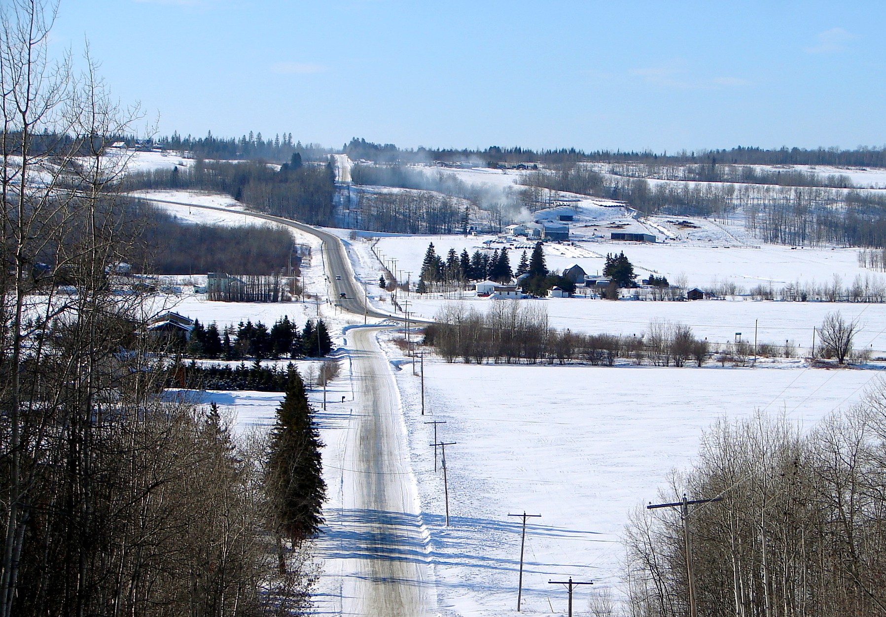
→ Highway 65 (in distance) in Harris Township
King's Highway 65, commonly referred to as Highway 65, is a provincially maintained highway in the Canadian province of Ontario. The route begins at Highway 66 and travels 123.3 kilometres (76.6 mi) southeast to the Quebec border. At its midpoint, the route is concurrent with Highway 11
Contents
Route description
Highway 65 currently travels from Highway 66 at a junction east of Matachewan, southeast to New Liskeard then northeast to the Quebec provincial border. The total length of Highway 65 is 123.3 kilometres (76.6 mi). With the exception of the community of Elk Lake, the section of the route between Highway 66 and Highway 11 passes through a remote and sparsely populated wilderness. The route becomes concurrent with Highway 11 and follows that route north for 2.7 kilometres (1.7 mi), bypassing the urban section of New Liskeard in the process.[3]
The route's continuation in Quebec does not have a provincial route number, but is named Rue Ontario by the town of Notre-Dame-du-Nord. Rue Ontario ends at Route 101 in Notre-Dame-du-Nord, 2.6 kilometres east of the provincial border.
Highway 65 is entirely situated in Timiskaming District. It travels through the communities of Elk Lake, Kenabeek and New Liskeard.
History
Highway 65 was first established on August 7, 1937, when the New Liskeard to Matachewan Road was assumed by the Department of Highways.[1] The route was extended 22.5 kilometres (14.0 mi) east to the Ontario–Quebec border on February 22, 1956.[1] It has remained unchanged since.[3]
Major intersections
The following table lists the major junctions along Highway 65. The entirety of the highway is located within Timiskaming District.
Location[3] km[2] Destinations Notes Unorganized West Timiskaming District 0.0 Highway 66 – MatachewanElk Lake 32.9 Highway 560 (Gowganda Road)33.9 Highway 560McCool 71.3  Highway 562
New Liskeard 97.9 Highway 11Beginning of concurrency with Highway 11 100.6 Highway 11End of concurrency with Highway 11 Casey Township 118.5 Casey Mine Road (south) / Development Road (north) 123.3 Ontario–Quebec border References
- ^ a b c Annual Report (Report). Department of Highways. March 31, 1938. p. 80.
- ^ a b Ministry of Transportation of Ontario (2007). "Annual Average Daily Traffic (AADT) counts". http://www.raqsb.mto.gov.on.ca/techpubs/TrafficVolumes.nsf/tvweb?OpenForm&Seq=5. Retrieved August 1, 2011.
- ^ a b c Peter Heiler (2010). Ontario Back Road Atlas (Map). Cartography by MapArt. p. 105, section J17–18. ISBN 978-1-55198-226-7.
External links
- Google Maps: Highway 65 route, Highway 66 (Matachewan) to New Liskeard segment
- Google Maps: Highway 65 route, New Liskeard to Quebec border segment
- Highway 65 pictures and information
The King's Highways of Ontario Current highwaysFormer highways- 2A
- 2B
- 2S
- 3B
- 4A
- 5A
- 7B
- 8A
- 12B
- 14
- 15A
- 18
- 18A
- 22
- 24A
- 25
- 27
- 29
- 30
- 31
- 32
- 35A
- 35B
- 36
- 38
- 39
- 40B
- 42
- 43
- 44
- 45
- 46
- 47
- 48B
- 50
- 51
- 52
- 53
- 54
- 55
- 56
- 57
- 59
- 68
- 70
- 73
- 74
- 75
- 76
- 78
- 79
- 80
- 81
- 82
- 83
- 84
- 86
- 87
- 88
- 90
- 91
- 92
- 95
- 96
- 97
- 98
- 99
- 100
- 103
- 104
- 106
- 107
- 109
- 110
- 111
- 114
- 116
- 117
- 119
- 120
- 121
- 122
- 123
- 126
- 128
- 131
- 133
- 134
- 135
- 136
- 169
- 400A
- 401A
County roads in Ontario · Ontario numbered highways · Expressways and 400-series highways · King's Highways · Secondary highways · Tertiary and 7000-series highways · List of Ontario provincial highways · List of former provincial highways in Ontario · Highways in Ontario · List of Ontario expressways · Trans-Canada Highway · Connecting Link · Emergency Detour RouteCategories:- Ontario provincial highways
- Roads in Timiskaming District, Ontario

Wikimedia Foundation. 2010.